TL;DR: A 71-year-old hiker last seen August 17, 2026 at the Horseshoe Canyon trailhead remained missing on September 28, 2026, with crews searching by air and on the ground in western Canyonlands, Utah.
A Remote Trailhead Became A Search Zone
A 71-year-old hiker remained missing near the Horseshoe Canyon trailhead on September 28, 2026, according to American Parks reporting that cited FOX 9 Minneapolis-St. Paul.
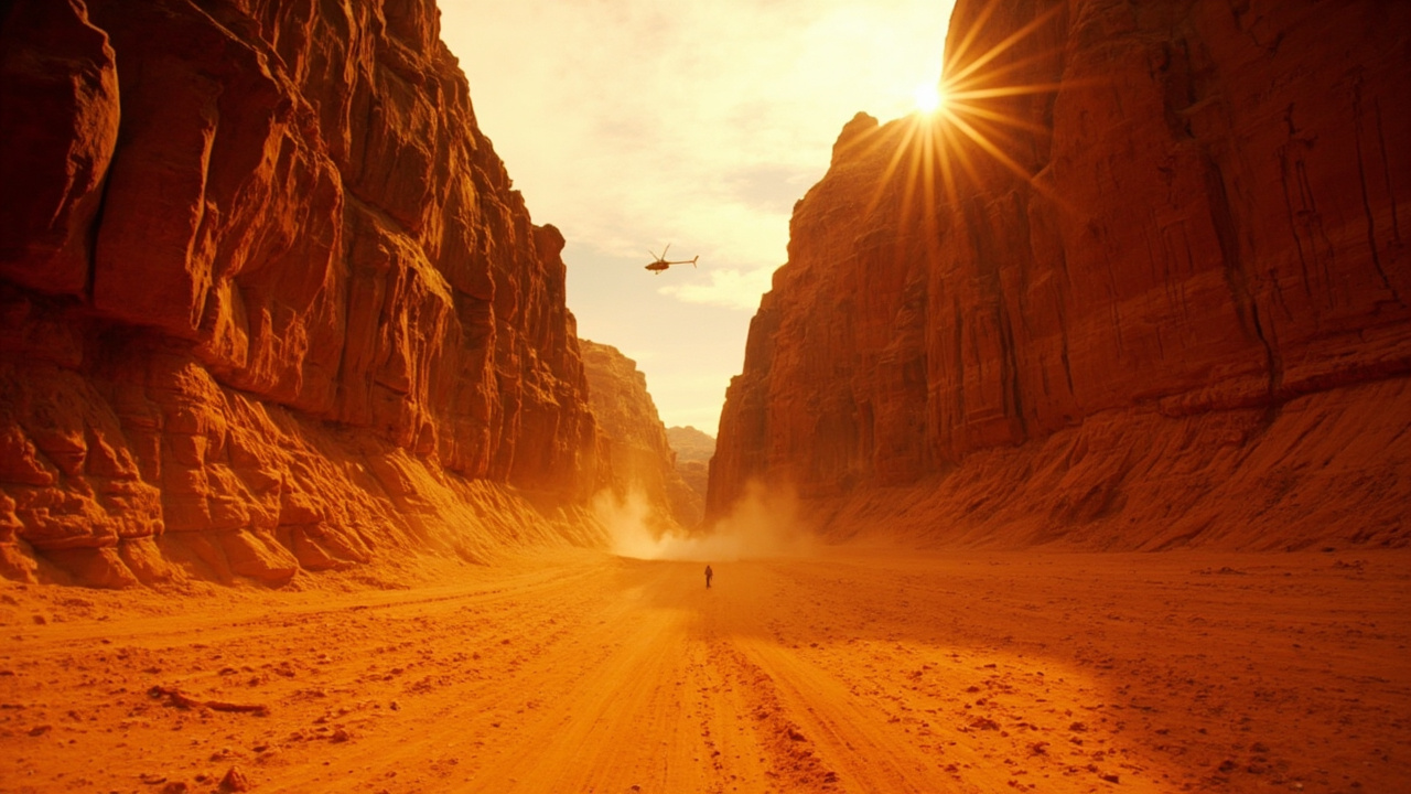
The report described a rescue operation underway in a remote corner of western Canyonlands in Utah.
Crews were searching by air and on the ground, according to American Parks reporting that cited FOX 9 Minneapolis-St. Paul.
The man was last seen on August 17, 2026 at the Horseshoe Canyon trailhead, according to the same reporting.
That trailhead was described as the staging point for the search.
The area was described as remote and well off the park's busier sections.
The account said the remoteness made the effort harder.
Where Horseshoe Canyon Sits Inside Canyonlands
Horseshoe Canyon is managed as part of the Maze district, although it is separated from the main Maze area, according to AD HOC NEWS.
The Maze lies west of the Green River, according to AD HOC NEWS.
Canyonlands National Park spreads south-west of Moab across mesas, sandstone spires and two major rivers, according to AD HOC NEWS.
The park is near Moab in south-eastern Utah, according to AD HOC NEWS.
The Green and Colorado rivers divide the park into districts with distinct landforms and routes, according to AD HOC NEWS.
The rivers themselves form a separate district, while the land around them is divided into Island in the Sky, The Needles and The Maze, according to AD HOC NEWS.
The park covers about 136,610 hectares, or 337,570 acres, according to AD HOC NEWS.
Its districts are not connected by roads crossing the rivers, so each landscape has its own approach and character, according to AD HOC NEWS.
That separation matters for readiness because help, vehicles and resupply cannot move quickly between districts.
Why The Location Complicates Rescue
Horseshoe Canyon contains the Great Gallery and a long approach on foot from its trailhead, according to AD HOC NEWS.
The canyon combines archaeological features with exposed sandstone walls, according to AD HOC NEWS.
The Great Gallery is a panel with life-sized painted and etched figures associated with the Barrier Canyon style, according to AD HOC NEWS.
The Maze is reached by unpaved roads suitable for high-clearance four-wheel-drive vehicles, according to AD HOC NEWS.
Island in the Sky occupies the northern part of the park, between the rivers above their confluence, according to AD HOC NEWS.
Its mesa top overlooks the White Rim, a broad sandstone bench about 365 meters, or 1,200 feet, below the mesa, according to AD HOC NEWS.
Farther below, the rivers run through narrow canyon corridors, according to AD HOC NEWS.
From Island in the Sky, named viewpoints look across the Colorado Plateau's broken surfaces, according to AD HOC NEWS.
Grand View Point faces an expansive arrangement of mesas, buttes, cliffs and canyons, according to AD HOC NEWS.
Green River Overlook looks towards the river corridor and the layered country beyond, according to AD HOC NEWS.
No road crosses the Green or Colorado rivers inside the park, according to AD HOC NEWS.
US 191 connects the Moab area with UT 313 for Island in the Sky and UT 211 for The Needles, according to AD HOC NEWS.
Who Joined The Search
Several agencies coordinated to cover the area around Horseshoe Canyon, according to American Parks reporting that cited FOX 9 Minneapolis-St. Paul.
The National Park Service took part, according to the same reporting.
The Bureau of Land Management took part, according to the same reporting.
Wayne County Search and Rescue took part, according to the same reporting.
The coordination reflected the jurisdiction and terrain around a detached unit far from the developed overlooks.
The search used both air and ground crews, according to the same reporting.
Air coverage can scan open benches and canyon rims.
Ground teams can check trail corridors, side drainages and shaded alcoves.
The trailhead served as the staging point, according to the same reporting.
Heat And Difficulty On This Route
The Horseshoe Canyon hike is rated difficult by the National Park Service, according to American Parks reporting that cited FOX 9 Minneapolis-St. Paul.
Daytime temperatures were described as climbing close to 100°F, according to the same reporting.
The account said a small slip in preparation catches up fast in that setting.
Desert heat drives water loss quickly.
Exposed sandstone reflects heat and offers little shade.
A long approach on foot means a turned ankle, missed junction or empty bottle becomes harder to solve with each mile.
In The Needles, Cedar Mesa Sandstone forms colourful spires and fins, according to AD HOC NEWS.
Across Canyonlands, erosion has cut sedimentary rocks into canyons, mesas, buttes, spires, arches and isolated formations, according to AD HOC NEWS.
The landscape is not a single canyon but a collection of related surfaces divided by the river system, according to AD HOC NEWS.
Deep Time Around The Trail
People have used the Canyonlands region for more than 10,000 years, according to AD HOC NEWS.
Hunter-gatherer groups left rock art, tools and other traces, according to AD HOC NEWS.
Ancestral Puebloan communities built stone structures and stored food in sheltered places, according to AD HOC NEWS.
Pictographs are painted on rock, while petroglyphs are pecked into the surface, according to AD HOC NEWS.
Both forms appear in the park, according to AD HOC NEWS.
Ancestors of today's Puebloan people lived in the area about 800 years ago, according to AD HOC NEWS.
Their remains include stone dwellings, granaries and rock art, according to AD HOC NEWS.
Granaries can be seen along trails such as Roadside Ruin in The Needles and Aztec Butte in Island in the Sky, according to AD HOC NEWS.
Canyonlands was established on 12 September 1964 and preserves a vast section of the Colorado Plateau, according to AD HOC NEWS.
The exposed rocks record environments that existed between about 310 and 160 million years ago, according to AD HOC NEWS.
The oldest exposed unit is the Pennsylvanian Paradox Formation, deposited about 310 million years ago, according to AD HOC NEWS.
Higher layers include the Cutler Group, Cedar Mesa Sandstone, Organ Rock Formation and White Rim Sandstone, according to AD HOC NEWS.
Open country supports bunch grasses, Utah juniper, pinyon pine, blackbrush and cliffrose, according to AD HOC NEWS.
Cottonwoods and willows grow along river corridors, where water creates greener strips within the high desert, according to AD HOC NEWS.
Readiness Lessons From A Detached Desert Unit
The safety basics are what matter most for this route, according to American Parks reporting that cited FOX 9 Minneapolis-St. Paul.
Carry far more water than expected because the heat is brutal, according to the same reporting.
Tell someone the route and expected return time before setting out, according to the same reporting.
Do not hike alone on an isolated trail like this one, according to the same reporting.
Give the plan a comfortable time buffer so the walk does not fall in the hottest part of the day, according to the same reporting.
A detached trailhead increases the value of that check-in plan.
A separate approach means fewer passing hikers may notice a vehicle waiting too long.
A difficult rating means pace planning should stay conservative.
Close to 100°F heat means turnaround times should be set before leaving the trailhead.
What Visitors Should Do Now
Anyone planning a trip toward Horseshoe Canyon should expect an active rescue operation in the area, according to American Parks reporting that cited FOX 9 Minneapolis-St. Paul.
Visitors should avoid interfering with air and ground crews.
Visitors should use the trailhead staging area with care and follow direction from participating personnel.
The National Park Service, the Bureau of Land Management and Wayne County Search and Rescue were identified as participants, according to the same reporting.
Trip planning should account for separate district access and unpaved approaches in the Maze area.
The official language is English and the currency is the US dollar, according to AD HOC NEWS.
Sources referenced
- Canyonlands: Hiker Missing at Horseshoe Canyon, Search Underway · American Parks (https://american-parks.com/en/news/parks/canyonlands/2026/09/hiker-missing-at-horseshoe-canyon-search-underway/)
- Canyonlands National Park and its layered desert world (https://www.ad-hoc-news.de/unterhaltung/reisen/canyonlands-national-park-and-its-layered-desert-world/70167903)