TL;DR: Grand Canyon National Park expanded inner-canyon closures on September 3, 2026, closing South Kaibab Trail below the Tip-Off and Bright Angel Trail below the Tonto Trail junction after the destructive August 29 flash flood in Bright Angel Canyon and the Phantom Ranch area.
September 3 expansion answers which routes are now off limits
Grand Canyon National Park announced expanded temporary closures in portions of the inner canyon effective immediately on September 3, 2026, according to Grand Canyon National Park Expands Inner Canyon Closures Following August 29 Flash Flood - Grand Canyon National Park (U.S. National Park Service).
The newly restricted segments are South Kaibab Trail below the Tip-Off and Bright Angel Trail below the intersection with the Tonto Trail.
The announcement states that the restrictions support response and recovery operations and protect visitor safety while crews work in hazardous terrain.
A photograph accompanying the September 3 release shows a trail closure at the Tonto Trail junction below Havasupai Gardens along the Bright Angel Trail, credited to NPS Photo/J. Baird.
The release contact is listed as the Grand Canyon Office of Communications.
The park mailing address is listed as PO Box 129, Grand Canyon, AZ 86023, and the listed phone is 928-638-7888.
For wilderness travelers, the practical meaning is direct: descent routes that normally lead toward the Colorado River from the South Rim cannot currently be completed through the closed lower sections.
Hikers who planned South Kaibab routes must treat the Tip-Off as a hard turnaround boundary, not a rest stop before continuing downward.
Hikers who planned Bright Angel routes must treat the junction with the Tonto Trail as a hard turnaround boundary, not a decision point for continuing toward the river.
Areas that were already closed after the August 29 flood
The September 3 announcement explains that several inner-canyon locations were previously closed following the August 29 flash flood and remain closed.
Those previously closed locations are the North Kaibab Trail, Cottonwood Campground, Phantom Ranch, the Bright Angel Campground, and the Black Bridge and Silver Bridge.
That continuation matters for trip planning because the September action did not replace earlier restrictions; it added South Kaibab and Bright Angel lower sections to an already extensive closure footprint.
According to Significant Flash Flooding Closes Phantom Ranch and North Kaibab Trail - Grand Canyon National Park (U.S. National Park Service), the August 30 closure order covered Phantom Ranch, Bright Angel Campground, the Phantom Ranch Canteen and cabins, and the entire North Kaibab Trail from the North Kaibab Trailhead to Phantom Ranch.
The same August 30 order closed the Black Bridge and Silver Bridge crossing the Colorado River until further notice.
The September 3 release repeats those bridge and campground closures as continuing restrictions.
Together, the two orders remove through-access across Bright Angel Creek and across the Colorado River at the two named river bridges.
For rim-to-rim aspirants and inner-canyon backpackers, that combination eliminates the normal corridor connections between the North Kaibab Trailhead, Phantom Ranch, Bright Angel Campground, Cottonwood Campground, and the South Rim river approaches.
What happened on August 29 in Bright Angel Canyon
The park describes the August 29 event as a destructive flash flood that caused significant damage in Bright Angel Canyon and the Phantom Ranch area.
According to the August 30 release, a significant flash-flood event occurred in Bright Angel Canyon and the Phantom Ranch area on August 29, beginning at approximately 2:30 p.m.
The August 30 release reports that nearly all footbridges spanning Bright Angel Creek were destroyed, eliminating hiker access across the creek.
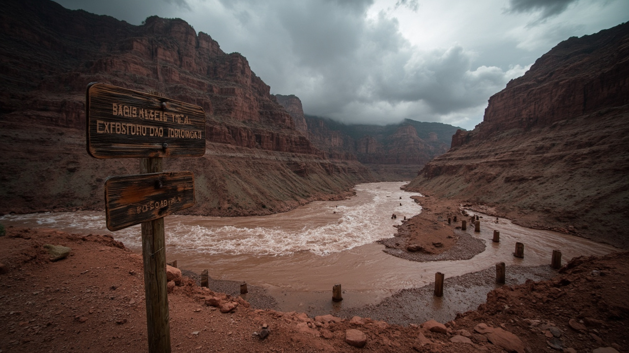
A photograph with that release shows remnants of stone bridge pylons along Bright Angel Creek following a flash flood that destroyed the footbridge on August 29, credited to NPS Photo/J. Thompson.
The release states that flooding resulted in significant impacts to infrastructure throughout Bright Angel Canyon.
Park staff were continuing to assess damage to trails, bridges, utilities, facilities and other infrastructure at the time of that report.
The September 3 release similarly states that trails, bridges, utilities and other infrastructure were damaged or destroyed.
For backcountry readiness, destroyed creek crossings are a decisive hazard signal.
Loss of nearly all footbridges over one creek means normal rock-hops, wades, or improvised crossings cannot be assumed safe or possible, especially where banks, abutments, and approach trails were also damaged.
Why the park expanded the closures on September 3
The September 3 release states that park staff and partner agencies are conducting damage assessments and beginning repair and stabilization work in areas where infrastructure was damaged or destroyed.
It states that maintaining safe access for response personnel and keeping visitors out of hazardous areas is critical as this work continues.
That operational need is the stated reason for expanding temporary closures in portions of the inner canyon.
The language is important for self-reliant travelers to understand: closure boundaries are not only about known trail damage at the line itself.
They preserve working room for assessment teams, stabilization crews, and partner agencies moving equipment and personnel through confined canyon corridors.
Entering a closed segment therefore risks interfering with recovery operations as well as encountering unstable trail tread, compromised bridges, and damaged utilities.
The September release says park staff will continue evaluating damaged areas as response, recovery, assessment and stabilization work progresses.
The explicit progression of response, recovery, assessment, and stabilization indicates a multi-phase operation rather than a single inspection.
Evacuation and emergency coordination reported August 30
According to the August 30 release, as of the morning of August 30, 62 individuals had been evacuated from Phantom Ranch and the lower North Kaibab Trail.
Additional individuals were scheduled to be evacuated that morning from Cottonwood Campground and Phantom Ranch in coordination with the National Park Service and Arizona Department of Public Safety.
Evacuees were being transported to the Maswik Lodge Cafeteria on the South Rim, where the American Red Cross was coordinating assistance.
The same report stated that no injuries had been reported as of the latest available information.
Those details illustrate how quickly an inner-canyon flood can convert a hiking itinerary into a coordinated air and ground evacuation.
The involvement of the National Park Service, Arizona Department of Public Safety, and American Red Cross shows overlapping responsibilities for extraction, transport, and evacuee support.
The designated reception point at Maswik Lodge Cafeteria on the South Rim gives future planners a reminder to identify where family reunification and assistance would occur if a group is separated or moved.
Travelers should record their entry trailhead, intended campgrounds, and exit date where a responsible contact can provide it to authorities if an evacuation is ordered.
River access rules after the flood
River rules changed rapidly around the flood, and the September 3 update preserves one limited exception for river exchanges.
According to the September 3 release, commercial and non-commercial river trips may continue to conduct exchanges at Pipe Creek Beach along the Bright Angel Trail.
That exception exists inside a wider pattern of river restrictions described August 30.
The August 30 release stated that the Colorado River was currently closed to river traffic until further notice due to metal structures and debris entering the river.
It stated that river parties already in the canyon were receiving direction through river operations rangers and the Grand Canyon River Alert system.
It advised visitors with upcoming river trips to contact their commercial outfitter or NPS River Permits for trip-specific information.
For private and commercial river travelers, the lesson is to maintain two communication paths: the on-river operational channel through river operations rangers and the alert system, and the pre-trip administrative channel through an outfitter or NPS River Permits.
Do not assume that a previously issued launch authorization guarantees unchanged put-in, exchange, or take-out conditions when debris has entered the main channel.
Pipe Creek Beach remains identified as the permitted exchange location in the September 3 release, but that permission concerns exchanges only and does not reopen the closed trail segments above or beyond it for general visitor use.
No estimated reopening date and how decisions will be made
The September 3 release states there is currently no estimated date for reopening these areas.
It states that reopening decisions will be based on conditions on the ground and the park's ability to safely restore access.
The August 30 release similarly stated there was currently no estimated reopening date for those areas and that other inner canyon closures might become necessary.
That forecast proved accurate when the park added the South Kaibab and Bright Angel lower sections on September 3.
For expedition planning, an open-ended closure with ground-conditions criteria means calendar-based assumptions are unsafe.
A reservation date, seasonal weather window, or training schedule does not override the park's ability to restore safe access.
Travelers with backcountry permits, lodge reservations, or river launch plans tied to Phantom Ranch, Bright Angel Campground, Cottonwood Campground, North Kaibab Trail, Pipe Creek Beach approaches, or the two Colorado River bridges should verify status through the park's Key Hiking Messages webpage referenced in the August 30 release.
The August 30 release directs readers to that webpage for the latest trail and closure information.
Because inner-canyon work involves trails, bridges, utilities, facilities and other infrastructure, reopening may depend on different specialists clearing different systems, not on trail tread alone.
Thunderstorm risk that followed the initial flood
The August 30 release warned that additional thunderstorms and heavy rainfall were possible that day and Monday, which could result in additional flash flooding, debris flows, rockfall and changing trail and river conditions.
That warning reframes survival preparation from single-event recovery to ongoing monsoon-season exposure.
Additional flash flooding can rework channels already stripped of footbridges and deposit new debris.
Debris flows can bury trail segments that appeared passable during an earlier assessment.
Rockfall can originate high above the trail and strike without water present at hiker level.
Changing trail and river conditions mean a route checked in the morning may differ by afternoon if cells build over Bright Angel Canyon.
Backcountry groups should therefore treat any inner-canyon travel window near the flood period as dynamic, even on open rim trails.
Check the forecast for both rim and canyon, recognize that rain far upstream can affect Bright Angel Creek and the Colorado River, and be prepared to delay or reverse a descent.
Wilderness readiness takeaways for South Rim hikers
The September closures reinforce a conservative turnaround discipline for desert canyon hiking.
When the park identifies the Tip-Off and the Tonto Trail intersection as closure boundaries, hikers should navigate to those named junctions with a map, confirm location before proceeding, and stop at the boundary even if the tread beyond looks intact.
Carry sufficient water and nutrition to return uphill to the rim without relying on inner-canyon water, utilities, or facilities that the park reports as damaged or under assessment.
Protect response access by staying out of closed areas so crews can conduct damage assessments and begin repair and stabilization work without visitor interference.
For river parties, follow direction provided through river operations rangers and the Grand Canyon River Alert system while already in the canyon, and contact a commercial outfitter or NPS River Permits before traveling for a future trip.
For all inner-canyon plans, monitor the park's Key Hiking Messages webpage for current trail and closure information rather than relying on prior trip reports, social posts, or printed guides that predate August 29.
The September 3 and August 30 releases together establish one consistent survival principle: safe access must be restored, not assumed, after floodwaters destroy bridges, damage utilities, and scatter debris through Bright Angel Canyon and the Phantom Ranch area.