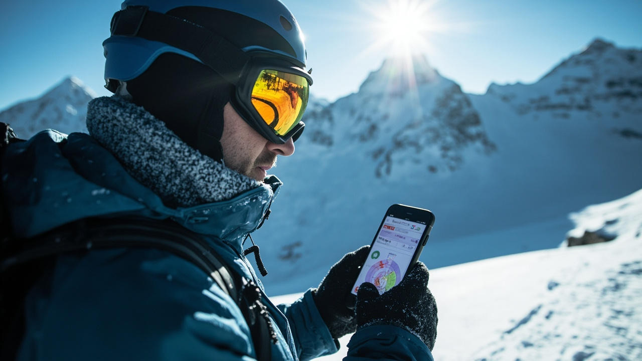
TL;DR: Avycast puts official avalanche bulletins from 21 countries into one translated layout with danger by elevation band, problems by aspect and elevation, and a link to each source.
What Avycast collects in one place
The directory listing titled Avycast - twelve.tools describes Avycast as a free web and iOS application for official avalanche bulletins translated from 21 countries. According to Avycast - twelve.tools, the system ingests bulletins issued by national and regional warning services and presents them in a consistent display.
That coverage includes EAWS members across the Alps, Avalanche Canada, the Colorado Avalanche Information Center, the New Zealand Avalanche Advisory, and additional services noted as “and more” in Avycast - twelve.tools. For wilderness travelers crossing borders, that consolidation matters because each service otherwise publishes on its own site, schedule, and format.
According to Avycast - twelve.tools, every forecast view remains connected to its origin. The listing states that the full forecast narrative is always linked to the source, which lets a user verify timing, region boundaries, and any update issued after translation.
How danger, problems, and terrain are displayed
According to Avycast - twelve.tools, danger appears on the 1–5 EAWS scale for each elevation band. That banded display separates lower, middle, and upper terrain rather than giving one number for an entire region.
The same listing states that avalanche problems are shown with aspects and elevations. In practice, that means the interface identifies the type of concern and the slopes and height ranges where forecasters place it.
According to Avycast - twelve.tools, the view also carries the complete forecast narrative. Readers therefore see the rated danger, the problem details, and the forecaster’s written explanation together before following the source link for the authoritative bulletin.
Why elevation bands shape backcountry decisions
A study published 24 August 2026 in Frontiers in Earth Science and titled Two-stage classification of avalanche problems and danger levels across elevation bands in Colorado was built around the same banded logic. According to that Frontiers study, the authors developed architectures separately for below treeline, near treeline, and above treeline.
According to the Frontiers study, training and evaluation used 28,140 region-band-days spanning eight Colorado Avalanche Information Center forecast regions and the 2013–2022 winter seasons. Meteorological inputs came exclusively from publicly available NOAA Global Historical Climatology Network–Daily stations, the study states.
According to the Frontiers study, forecast region entered the pooled training dataset as a one-hot feature to preserve site-level structure. Models were evaluated with a staged chronological splitting protocol with separate held-out windows for Stage-1 and Stage-2 model selection, the study states.
For backcountry users, the takeaway from that design is structural: conditions below treeline, near treeline, and above treeline were treated as distinct prediction tasks. Avycast - twelve.tools uses a comparable separation by showing danger per elevation band rather than merging terrain.
Which avalanche problems the research isolates
According to the Frontiers study, the first modeling stage predicts the presence of three distinct avalanche problem types identified as Slab Problem, Persistent Slab, and Loose Wet. Those intermediate predictions are then used with meteorological and derived snowpack features to estimate overall danger level, the study states.
The emphasis on problem type mirrors operational practice described in Avycast - twelve.tools, where avalanche problems are listed with aspects and elevations alongside the danger number. Knowing whether forecasters flag a slab concern, a persistent slab concern, or a loose-wet concern changes route selection, slope angle choice, and turnaround cues.
The Frontiers study reports that its framework outperformed a Pérez-Guillén-style Random Forest reproduction on the same eight-zone Colorado dataset by +0.131 macro-F1 averaged across elevation bands, with non-overlapping bootstrap 95% confidence intervals at every band. That comparison is specific to that dataset and evaluation setup, not a claim about every forecast product.
On days when the issued danger rating changes from the previous day, the study reports that the framework significantly outperformed both climatology and 1-day persistence at every elevation band with paired permutation p < 0.001. Those transition days are described as periods when forecasters are actively reassessing conditions.
The study identifies High-danger Class 3 prediction as the most operationally consequential result. According to the Frontiers study, the framework achieved Class 3 F1 scores of 0.341, 0.457, and 0.504 across the three elevation bands, compared with 0.094 for a best-tuned Random Forest baseline on the same data.
Why translation changes access for travelers
According to Avycast - twelve.tools, most services publish only in the local language. That language barrier affects trip planning in the Alps and other multilingual ranges, where a traveler may cross forecast zones without reading the local bulletin language.
Avycast - twelve.tools states that the web version translates text into 6 languages and the iOS app translates into 11 languages. The translation applies to bulletin text, allowing a user to read danger explanations, problem descriptions, and narratives outside the original language.
That function does not replace the issuing service. Because Avycast - twelve.tools states that each display remains linked to its source, users can compare the translated layout with the original wording, maps, and time stamps on the warning service site.
What it costs and how access tiers work
According to Avycast - twelve.tools, web forecasts are free with no account. That access model allows a party to check bulletins during planning without creating credentials or installing software.
According to Avycast - twelve.tools, the app is free for one region. Premium adds unlimited region switching and favorites, the listing states. For a traveler moving between valleys or countries, region switching and saved favorites control how many forecast zones remain readily available in the mobile view.
The listing does not describe other charges, gear, or rescue features. Its stated scope is bulletin reading, translation, layout, and source linking.
Why danger-scale wording is under revision
The 1–5 scale shown in Avycast - twelve.tools depends on users interpreting each level as forecasters intend. A preprint titled COMPREHENSION VALIDATION OF THE REVISED EAWS DANGER SCALE DESCRIPTORS reports that descriptors in use since 1993 are being revised.
According to that preprint record, EAWS forecasters agreed on new provisional wording in June 2025 and thereby provided its content validation. Because the descriptors are described as first of all a public communication tool, the authors ran a comprehension validation survey.
According to the survey record, the online survey ran from 3 February to 8 April 2026 in six languages and retained 17,335 responses after cleaning, of which 15,749 were completed. All wording comparisons were randomized between subjects, the record states.
The record states that each proposal was evaluated against correctness, simplicity, and increase: whether users recover the order forecasters intend, how easy the task feels, and whether wording conveys how much danger increases from level to level.
For avalanche occurrence, the record states that all four wording variants were ranked accurately at 83–92% correct, and most differences that reach significance in pooled data do not survive within individual languages. Only the variant that drops distribution wording is described as clearly weaker.
On perceived increase, the variants separated. According to the record, wording level 2 as “in some places” rather than “in a few places” moves it closer to level 3 and shrinks the perceived difference between moderate and considerable from 36% to 31% of the distance between levels 1 and 4, with Cohen’s d = 0.39 and p < 0.001.
For size and impact, the record reports a large wording effect: adding size-class words small, medium, large, and very large to impact wording raised accuracy from 61% to 95% and self-reported ease from 4.7 to 6.1, with Cohen’s d = 1.04. Most of that failure is attributed to using “bury and kill” at both levels 1 and 2, which makes those levels hard to tell apart, the record states.
The record also states that the authors report how users read seven phrases forecasters already use, and that for avalanche occurrence the largest differences are between languages rather than between wordings. That finding supports translated bulletin displays that preserve the source while making language differences visible.
Where automated forecasts still struggle
An analysis published 27 August 2026 by Yoo plus and titled AI Avalanche Forecasts: How Machine Learning Is Redefining Slope Risk Assessment — and Where It Still Misses describes the shift from regional bulletins to slope-scale estimates. It states that newer systems ingest high-resolution weather models, snowpack simulation output, and recorded avalanche events to produce finer grids.
According to that Yoo plus analysis, training data carries three broad issues: spatial bias toward traveled slopes and visible roads, sparsity of rare large destructive avalanches on persistent weak layers, and inconsistent verification without standardized sensor-based ground truth. The analysis calls the mismatch on rare severe days the long-tail problem.
According to the same Yoo plus analysis, wind slabs can form in hours on specific leeward slopes in response to subtle ridge-scale wind shifts that weather models still resolve poorly. It states that a system may identify a general wind-slab problem without resolving which of two adjacent couloirs received overnight loading.
According to the same analysis, persistent weak layers involving buried facets or surface hoar can remain dormant for weeks and then trigger from a single skier load on a poorly connected slope. It states that models can flag where such layers are likely while underestimating structural variation across one mountain face.
The Yoo plus analysis also warns about probability communication: a slope-scale map showing a numeric probability can look like a calculation, while avalanche probability and avalanche consequence are not the same thing. That distinction reinforces checking the official narrative linked from Avycast - twelve.tools rather than treating a translated rating alone as a go decision.
How to read a translated bulletin before a tour
Start with the source link identified in Avycast - twelve.tools. Open the issuing service page to confirm the forecast region, issue time, and valid period before selecting terrain.
Compare elevation bands separately. The Frontiers study modeled below treeline, near treeline, and above treeline as separate tasks, and Avycast - twelve.tools displays danger on the 1–5 EAWS scale per elevation band. A lower rating at one band does not describe another band.
Read problems by aspect and elevation. According to Avycast - twelve.tools, those fields accompany the rating. Note the problem names highlighted in the Frontiers study — Slab Problem, Persistent Slab, and Loose Wet — and look for the forecaster’s wording about where each problem applies.
Use translation as access, not authority. Avycast - twelve.tools provides 6 languages on the web and 11 in the iOS app, while most issuing services publish only in the local language. When wording seems ambiguous, consult the linked original, especially around distribution phrases and size-impact language examined in the EAWS comprehension survey fielded 3 February to 8 April 2026.
Treat automated context with caution. The Yoo plus analysis states that observations remain biased toward traveled terrain and that verification gaps leave large parts of the record incomplete. On wind-affected or persistent-weak-layer days, its description favors conservative terrain selection and direct observation alongside the bulletin.
The Frontiers study introduction notes that avalanches remain one of the leading causes of fatalities during winter backcountry recreation, that 22 people were killed in avalanche accidents in the United States last year, and that 107 individuals were caught in avalanches in Colorado alone. It adds that global fatalities occur each season with inconsistent reporting across countries. Those figures underline bulletin review, route discipline, and source verification as linked steps, not substitutes for one another.