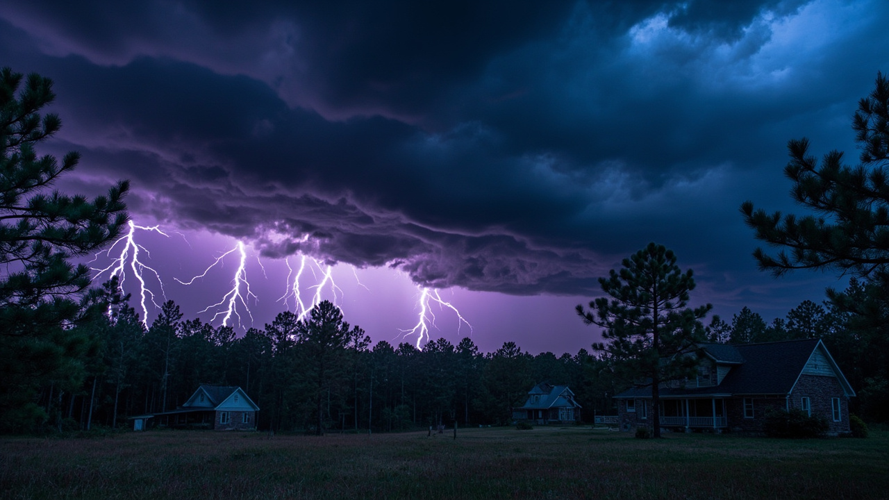
National Weather Service Saturday Alert: Severe Storms, Extreme Heat and Flood Risk Test Outdoor Readiness
TL;DR: The National Weather Service network warned of severe thunderstorms across the Carolinas and the High Plains, dangerous heat for tens of millions in the central U.S., and flash-flood potential in the West and Southeast on September 5, 2026 — a day that demanded shelter plans, heat discipline and flood avoidance for anyone outdoors.
The newest verified action on September 5, 2026 was a live severe-weather watch and warning sequence across the Carolinas. According to the report titled Severe Thunderstorm Watch issued September 5 at 4:25PM EDT until September 5 at 10:00PM EDT by NWS Wilmington NC, Watch 657 remained valid until 10 p.m. EDT that evening for six counties in southeast North Carolina and six counties in northeast South Carolina. That single product names cities from Wilmington and Myrtle Beach to Florence, Lumberton and Bennettsville as inside the watch area.
For wilderness travelers, hunters, paddlers, campers and road-trippers, the message was direct: Saturday was not a day to rely on blue sky. A progressive storm cluster, a stalled frontal boundary, a heat dome and monsoon moisture combined to create overlapping threats. This Stone Cold Survivor briefing breaks down what the forecast offices flagged, where the risk concentrated, and how backcountry-ready people adjusted plans.
Saturday severe thunderstorm watches stretched coast to plains
Carolina coastal plain under Watch 657 until 10 p.m.
The Wilmington office watch covered Bladen, Brunswick, Columbus, New Hanover, Pender and Robeson in North Carolina, plus Darlington, Dillon, Florence, Horry, Marion and Marlboro in South Carolina, according to Severe Thunderstorm Watch issued September 5 at 4:25PM EDT until September 5 at 10:00PM EDT by NWS Wilmington NC. Certainty was listed as possible and urgency as future, with a severity tag of severe.
The city list was unusually long for a late-summer watch. It included Bennettsville, Bladenboro, Boiling Spring Lakes, Burgaw, Chadbourn, Conway, Darlington, Dillon, Elizabethtown, Florence, Garden City, Hartsville, Lake Waccamaw, Leland, Little River, Long Beach, Lumberton, Marion, McColl, Mullins, Myrtle Beach, North Hartsville, North Myrtle Beach, Oak Island, Red Hill, Socastee, Southport, Sunset Beach, Surf City, Tabor City, Whiteville and Wilmington.
For outdoor readiness, the implication was broad. Beach visitors, Intracoastal boaters, barrier-island campers and pine-woods hikers across that corridor faced the same late-afternoon and evening window. A watch means conditions favor severe storms, not that a storm is overhead, so the practical move was to identify sturdy shelter before leaving camp, secure tarps and tents against gusts, and keep a weather radio or phone alert path active after 4 p.m.
A separate High Plains action showed the national scope of the day. A National Weather Service issuance from Cheyenne placed Severe Thunderstorm Watch 659 in effect until 9 p.m. MDT for Box Butte, Cheyenne, Kimball and Morrill counties in Panhandle Nebraska, including Alliance, Sidney, Kimball, Bridgeport and surrounding towns. Travelers on Interstate 80, ranch roads and open grassland had a parallel evening wind and hail window in a completely different region.
Central North Carolina warnings flagged 60-mph gusts near Troy
While watches outlined the broad risk area, warnings pinpointed individual storm tracks. According to the product titled iNWS Alert, the National Weather Service in Raleigh issued a Severe Thunderstorm Warning at 3:31 p.m. EDT on Saturday, September 5, 2026, for western Moore County, Anson County, Montgomery County, Richmond County and southeastern Stanly County in central North Carolina until 4:30 p.m. EDT.
That warning placed a severe thunderstorm near Troy, moving southeast at 25 mph. The listed hazard was 60 mph wind gusts and penny-size hail, radar indicated, with expected damage to roofs, siding and trees. Locations named in the warning included Rockingham, Wadesboro, Troy, Pinehurst, Hamlet, Biscoe, Ansonville, Hoffman, Polkton and Norwood. Coordinates, motion data and hail and wind threat tags accompanied the bulletin, with maximum hail size noted at 0.75 inch and maximum wind gust at 60 mph.
A follow-up update that afternoon tracked the same cell 14 miles south of Biscoe, or 14 miles south of Troy, moving southeast at 45 mph, with 60 mph gusts and quarter-size hail and a note that hail damage to vehicles was expected. The expanded impact list added Mount Gilead and Robbins. The precautionary language was consistent across issuances: straight-line winds can blow down trees, power lines and mobile homes, seek shelter in a sturdy structure until the storm passes, and stay away from windows because flying debris can be deadly.
An earlier Raleigh warning the same day covered northwestern Alamance County and northeastern Guilford County until 2:15 p.m. EDT, with a storm over Bethany near Wentworth moving southeast at 20 mph and nickel-size hail. Communities listed included Greensboro, Burlington, Graham, McLeansville, Elon, Summerfield, Gibsonville, Stokesdale, Swepsonville and Alamance, plus stretches of Interstate 85 and Interstate 40. For drivers, that meant a midday interstate hazard with reduced visibility, gusty crosswinds and hail on windshields.
Storm Prediction Center pointed to damaging winds as top hazard
Slight Risk covered Ohio Valley to Carolinas
The broader severe-weather framework came from the Storm Prediction Center. According to the briefing titled Slight Risk Saturday: Damaging Winds Target Carolinas and Ohio Valley, the Day 1 convective outlook placed a Slight Risk across portions of the Ohio Valley, southern Mid-Atlantic and Carolinas, with damaging wind gusts as the primary threat as a mesoscale convective system moved southeast through the afternoon and evening.
That briefing noted eastern North Carolina faced the highest probability for damaging gusts, where afternoon heating would intersect the advancing system. Cities in or near the Slight Risk area included Columbus and Cincinnati in Ohio, with additional coverage toward the Mid-Atlantic and Carolinas. A secondary area of isolated severe potential existed over the northern and central Plains, including parts of Nebraska, South Dakota and Montana.
The same briefing summarized Friday as context, reporting 268 wind reports across 15 states with no tornadoes reported and nine hail reports. That history mattered for readiness because it showed the storm system driving Saturday's threat had already produced widespread tree and power-line damage. Campers who saw Friday's snapped limbs and blocked trails had reason to treat Saturday's outlook seriously.
Timing guidance in that briefing placed peak severe weather from mid-afternoon through evening, roughly 3 p.m. to 10 p.m. local time in the East. Atmospheric detail included dewpoints in the upper 60s across northern Virginia climbing to the mid-70s across southeastern North Carolina and eastern South Carolina, and high temperatures in the low 90s north rising to upper 90s to low 100s across central and eastern South Carolina. Poor mid-level lapse rates limited supercell potential but favored outflow-driven gusts, which can exceed severe limits even without rotation.
Overnight Midwest cluster showed how fast storms upscale
An overnight mesoscale discussion added wilderness context for Great Lakes travelers. A Storm Prediction Center mesoscale discussion issued at 12:41 a.m. CDT Saturday flagged southern Lower Michigan and northern Indiana into northwest Ohio for severe potential with a 60 percent probability of watch issuance. A band from eastern Lake Michigan to northwest Ohio had intensified, supported by strongly unstable air and 25 to 40 knots of deep-layer shear.
The discussion described 3,000 to 4,000 joules per kilogram of most-unstable convective available potential energy, with storm organization and upscale growth expected into a mesoscale convective system tracking southeastward. Most probable peak gusts were listed at 55 to 70 mph and hail up to 1.25 inches, with tornado intensity up to 90 mph. For tent campers near lakes and open fields, that overnight evolution was a reminder that a calm evening can turn into a damaging wind event after midnight.
Dangerous heat gripped the middle of the country
Tens of millions faced major to extreme HeatRisk
Heat was the second national story. According to the report titled First weekend of September will feature severe storms, scorching heat, and flash flood risks, around 69 million people were expected to experience major to extreme HeatRisk, categories three and four out of four, on Saturday, dropping to around 41 million on Sunday.
The same report said large parts of Kansas, Iowa, Missouri, Illinois, Arkansas, Tennessee, Kentucky and Mississippi would endure extreme HeatRisk as temperature and humidity combined to feel like 100 to 110 degrees in some spots. St. Louis faced potentially its hottest start to September on record. The northern corners of the country were coolest, with highs in the 60s and 70s across much of the Pacific Northwest, Intermountain West and Northeast on Saturday.
For survival readiness, humid heat changes decision-making. Sweat evaporates poorly, water needs climb, and shade alone does not restore a heat-stressed person. The report's framing made clear that outdoor labor, hiking with packs, and youth sports in the central states required early starts, frequent rest, and a willingness to cancel. Cooler air was forecast to settle further south into the central Rockies and parts of the upper Midwest on Sunday, but Saturday remained the peak exposure day.
Flash flooding threatened deserts, mountains and Southeast
Excessive rainfall outlooks covered 20 states Saturday
Water was the third overlapping threat. According to First weekend of September will feature severe storms, scorching heat, and flash flood risks, close to 80 million people across portions of at least 20 states were at marginal to slight risk, levels one and two out of four, of excessive rainfall capable of producing flash flooding on Saturday, per the Weather Prediction Center. Cities listed within the marginal risk included Tucson, Albuquerque, Orlando and Miami.
Sunday's footprint grew. The same report said the number of states facing marginal to slight risk jumped to 28, including a large swath of the West from southern California and Arizona north to Montana and east into Minnesota. A nearly stalled frontal boundary over the Southeast placed parts of the Carolinas, Georgia, Alabama and Florida at marginal risk as well.
Drivers of the western flood risk included an upper-level low sliding across the Pacific Northwest and monsoon moisture surging north from the Southwest into the Rockies. For canyon hikers, desert-wash drivers and high-country campers, that pattern is classic short-fuse flooding: distant rain can send water through slot canyons, burn scars and dry washes with little warning. Low-water crossings, normally dry arroyos and narrow canyons were places to avoid during the outlook window.
Fire weather stayed below critical but breezy and dry in Great Basin
The fire-weather picture was less severe but still relevant for backcountry travel. In the Day 1 Fire Weather Outlook issued at 11:29 a.m. CDT on Saturday, September 5, 2026, the Storm Prediction Center listed no critical areas. The discussion described strong southwesterly flow over the Great Basin enhancing a very dry boundary layer amid breezy sustained southerly winds of 20 to 25 mph with gusts to 35 mph or greater that afternoon.
Meteorological conditions would otherwise have supported an elevated or perhaps critical threat in southern Nevada and western Utah, but marginal fuels averted risk areas. Similar breezy, low-humidity overlap was noted for central and northern Wyoming and eastern and southern Great Basin, with minimum relative humidity values of 10 to 20 percent in places. For campers, that meant campfire discipline and vehicle exhaust awareness still mattered even without a formal critical designation, especially where recent rainfall had been minimal and pockets of dry fuels remained.
What wilderness-ready households did with this forecast day
The September 5 pattern rewarded people who layered hazards instead of chasing one threat. Coastal plain campers watched the sky southeastward for an approaching line and had a hard-wall shelter option identified. Piedmont drivers checked warnings by county rather than by city, because warnings named counties and highways. Midwest campers secured tents against overnight gusts and parked clear of dead limbs. Desert travelers delayed slot-canyon entries and wash crossings. Central-state hikers shifted exertion to morning or stood down entirely during peak heat.
No single product told the whole story. Watches set the evening boundaries, warnings gave minutes-scale direction, convective outlooks explained the wind-first hazard, excessive-rainfall outlooks flagged flood-prone terrain, heat-risk categories flagged physiological strain, and the fire outlook explained why breezy desert air still deserved caution. Together, they made September 5 a textbook multi-hazard Saturday for readiness-minded outdoors people.