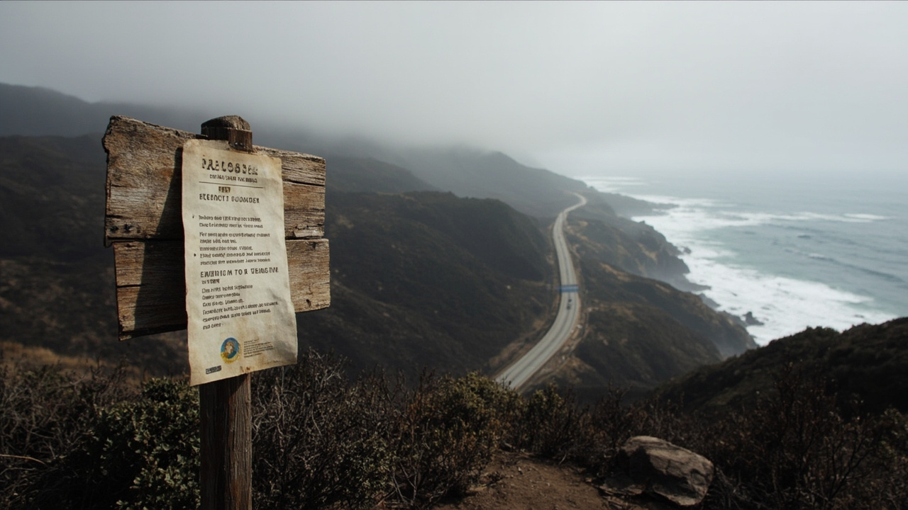
TL;DR: Los Padres National Forest bars entry to the Timber and Plaskett Fire closure area on the Monterey Ranger District from September 26, 2026, through January 31, 2027, under Forest Order No. 05-07-51-26-11.
The newest verified action in Los Padres National Forest is the Monterey Ranger District Emergency Closure Order with Exceptions, which closes the Timber and Plaskett Fire Area including roads and trails described in Exhibit A and shown on the Exhibit B Map, according to the Los Padres National Forest | Alerts | Forest Service page. That page states that Forest Order No. 05-07-51-26-11 supersedes Forest Order No. 05-07-51-26-10. The alert start date is September 26, 2026, and the order text states the order is effective from September 26, 2026, until January 31, 2027.
Monterey fire closure bars lands, roads and trails
The closure prohibits three acts to provide for public safety, according to the Los Padres National Forest | Monterey Ranger District Emergency Closure Order with Exceptions | Forest Service page. The prohibited acts are going into or being upon National Forest System lands within the Monterey Ranger District Emergency Closure Area, being on National Forest System roads within that area, and being on National Forest System trails within that area.
The order cites 16 U.S.C. § 551 and 36 C.F.R. § 261.50(a) and (b) as authority. The land prohibition cites 36 C.F.R. § 261.53(e). The road prohibition cites 36 C.F.R. § 261.54(e). The trail prohibition cites 36 C.F.R. § 261.55(a).
The closure area comprises three non-contiguous components: a Main Emergency Closure Area, a Brazil Ranch Emergency Closure Area, and a Carmel River Station Emergency Closure Area. The boundary description begins at the National Forest Boundary in the northeast corner of Section 1 of Township 18 South, Range 2 East, Mount Diablo Base Meridian. It then follows the National Forest Boundary south and east, with referenced points including Section 31, Township 19 South, Range 5 East, and Section 1, Township 20 South, Range 6 East.
The same boundary description reaches Nacimiento-Fergusson Road, identified as Forest Road 22S01, in Section 32 of Township 22 South, Range 6 East. It continues to South Coast Ridge Road, identified as Forest Road 20S05.6, in Section 9 of Township 24 South, Range 6 East. It then follows the northern edge of South Coast Ridge Road to Salmon Creek Trail, identified as Forest Trail 6E11, in the same section.
From Salmon Creek Trail, the line runs southwesterly to the trailhead intersection with Highway 1 in Section 30 of Township 24 South, Range 6 East. It then runs northwesterly along the eastern edge of Highway 1 to Plaskett Ridge Road, identified as Forest Road 23S02.4. It then runs east along the northern edge of Plaskett Ridge Road to the National Forest Boundary.
Farther north, the description references the eastern boundary of Limekiln State Park, the southern boundary of Julia Pfeiffer Burns State Park, California Highway 1 in Section 9, Township 20 South, Range 2 East, the northern boundary of Pfeiffer Big Sur State Park, and the eastern boundary of Andrew Molera State Park. The contact number listed on the closure page is 805-968-6640.
Who is exempt and what violations carry
Three groups are exempt under 36 C.F.R. § 261.50(e), according to the Los Padres National Forest | Monterey Ranger District Emergency Closure Order with Exceptions | Forest Service page. The first group is any Federal, State, or local officer, or member of an organized rescue or fire-fighting force in performance of an official duty.
The second group is owners, lessees, or residents of private land within the Monterey Ranger District Emergency Closure Area, to the extent necessary to access their land, unless the area is under evacuation order by the Monterey County Sheriff or California Office of Emergency Management. The third group is persons with Forest Service Permit FS-7700-48, described as Permit for Use of Roads, Trails, or Areas Restricted by Regulation or Order, specifically exempting them from the order.
The prohibitions are in addition to the general prohibitions in 36 C.F.R. Part 261, Subpart A. A violation is punishable by a fine of not more than $5,000 for an individual or $10,000 for an organization, or imprisonment for not more than six months, or both. The cited statutes are 16 U.S.C. § 551 and 18 U.S.C. §§ 3559, 3571, and 3581.
The order was executed at Santa Barbara, California on September 25, 2026. It was digitally signed by Jeanne Dawson, Deputy Forest Supervisor of Los Padres National Forest.
Forest-wide fire and firearm rules run to January 31
A second winter-season control is the Los Padres Fire Use and Firearm Restrictions order. According to that Forest Service page, the order prohibits building, maintaining, attending, or using a fire, campfire, or stove fire on Los Padres National Forest System lands, except in the Designated Campfire Use Sites listed in Exhibit A.
The alert start date is June 4, 2026. The alert end date is January 31, 2027. The order number is 05-07-00-26-05. The Forest Service page states the order was executed at Solvang, California on June 3, 2026, by Jeanne E. Dawson, Deputy Forest Supervisor.
The same order prohibits discharging a firearm, air rifle, or gas gun, except in authorized public shooting ranges. The two listed ranges are Winchester Canyon Gun Club and Ojai Valley Gun Club. The fire prohibition cites 36 C.F.R. § 261.52(a). The discharge prohibition cites 36 C.F.R. § 261.58(m).
The page states that persons with a valid California Campfire Permit are not exempt from the order. It states, however, that persons with a valid California Campfire Permit may use portable lanterns or stoves using gas, jellied petroleum, or pressurized liquid fuel within the forest. A separate note on the page states that only persons with a valid CA Campfire Permit are exempt in the limited sense of using portable lanterns or stoves using gas, jellied petroleum, or pressurized liquid fuel.
Other exemptions are any Federal, State, or local officer, or member of an organized rescue or fire-fighting force in performance of an official duty, and persons hunting during the open hunting season as specified by California law who possess a valid California hunting license and may discharge a firearm at a legal game bird or mammal. Violation carries the same stated penalty structure: a fine of not more than $5,000 for an individual or $10,000 for an organization, or imprisonment for not more than six months, or both.
Designated campfire sites by ranger district
Exhibit A names designated sites where campfire use remains listed, according to the Los Padres National Forest | Los Padres Fire Use and Firearm Restrictions | Forest Service page. On the Monterey Ranger District, the listed sites include Arroyo Seco Campground and Group Camp, Arroyo Seco Day Use Area, China Camp, Escondido Campground, Kirk Creek Campground, Nacimiento Campground, Mill Creek Day Use Area, Plaskett Creek Campground and Group Camp, Ponderosa Campground, Sand Dollar Day Use Area, Santa Lucia Summer Home Tract, Santa Lucia Memorial Park Campground, White Oaks Camp, and White Oaks Camp China Camp as shown in the exhibit text.
On the Ojai Ranger District, the listed sites are Holiday Group Campground, Middle Lion Campground, Pine Mountain Campground, Reyes Peak Campground, Rose Valley Campground, and Wheeler Gorge Campground. On the Santa Lucia Ranger District, the listed sites include American Canyon, Baja, Bates Canyon, Brookshire, Buck Spring, Cerro Alto, Cumbre Day Use Area, Davy Brown, Figueroa, Friis, Hi Mountain, Horseshoe Spring, La Panza, Miranda Pine, Navajo Flat Campground and Staging Area, Nira, Pino Alto Day Use Area, Paradise, and Wagon Flat Campgrounds.
On the Mount Pinos Ranger District, the listed sites include Aliso Park, Ballinger, Caballo, Campo Alto, Chuchupate, Chula Vista, Dutchman, Halfmoon, Kings Camp, Marian, McGill, McGill Group, Mt. Pinos, Pine Springs, Reyes Creek, Toad Springs, and Valle Vista Campgrounds. On the Santa Barbara Ranger District, the listed sites include Falls Day Use Area, Fremont Campground, Live Oak Day Use Area, Los Prietos Campground, Lower Oso Day Use Area, Paradise Campground, Red Rock Day Use Area, Sage Hill Campground, Upper Oso Campground, White Rock Day Use Area, Lower Caliente Rock Camp, P-Bar Flat Campground, Middle Santa Ynez Campground, and First Crossing Day Use Area.
Storm recovery, beach, road and wildlife closures
The Los Padres National Forest | Alerts | Forest Service page lists a Special Closure for Santa Barbara Ranger District storm damage recovery. It describes closure of developed recreation sites, roads, and trails impacted by storm damage, with some roads restricted to non-motorized use. The alert start date is September 16, 2026, and the effective period is September 16, 2026, through September 15, 2027, under Forest Order No. 05-07-54-26-09.
The same alerts page lists a Santa Lucia Ranger District storm damage recovery action beginning July 15, 2026, under Forest Order No. 05-07-53-26-06. It states that entering or using listed developed recreation sites or portions thereof is prohibited for public health and safety, including Cerro Alto Campground as the first listed site.
The alerts page also lists a San Carpoforo Beach prohibition beginning April 8, 2026, under Order No. 05-07-51-26-03. It prohibits overnight camping and building, maintaining, attending, or using a fire, campfire, or stove fire on San Carpoforo Beach, defined to include National Forest lands west of Highway 1 to the mean high tide line of the Pacific Ocean in Section 16, Township 25 South, Range 6 East.
Road controls include a prohibition on roadside camping within 300 feet of Nacimiento-Fergusson Road, Forest Road No. 22S01, from its intersection with State Highway 1 then east for 12 miles, effective September 6, 2025, through September 5, 2027. A separate Sycamore Canyon Road control prohibits being on Forest Road No. 19S05 except within a motor vehicle from Highway 1 west for approximately two and a half miles to Pfeiffer Beach Day Use Area. The alerts page dates that action to January 30, 2025.
The alerts page also lists a Sespe Condor Sanctuary closure beginning October 22, 2025, to support condor recovery, survivorship, and population increase, and a Dry Canyon Area, Roads and Trails, and Wilderness Closure in the Mt. Pinos Ranger District beginning March 27, 2025. It lists an Occupancy and Use order covering camping stay limits beginning March 25, 2026, a Santa Barbara Front Country fire-use restriction beginning February 27, 2026, and a West Cuesta fire-use restriction beginning December 10, 2024.
Know-before-you-go contacts and forest warnings
The alerts page asks visitors to know before they go because unexpected situations can present difficult challenges, and directs emergency reports to 911. It links InciWeb Fire Information and a Fire and Smoke Map. It flags illegal cannabis cultivation as an escalating problem in California national forests, states that vector-borne diseases can be transmitted from insects and other animals, and lists naturally occurring asbestos as a forest topic.
The same page defines four alert levels. Critical means critical danger may be present. Fire Restriction means the agency initiates restrictions or temporary closures to reduce wildfire risk and protect the public. Caution means a notification or warning may impede planned recreation or indicate possible danger or an unpleasant or unsafe situation. Information means a situation is generally not dangerous but could affect plans or concern the public.
The page states that fireworks and explosives, including explosive targets, are always prohibited on national forest lands as part of permanent fire-safety regulations in the Code of Federal Regulations. The Los Padres National Forest | Current Conditions | Forest Service page states that campfire permits are required for campfires, charcoal fires, or portable gas stoves outside designated recreation sites, that permits are free and available online through CAL FIRE and at Forest Service offices, and that campfires must be attended by a responsible person and completely extinguished after use.