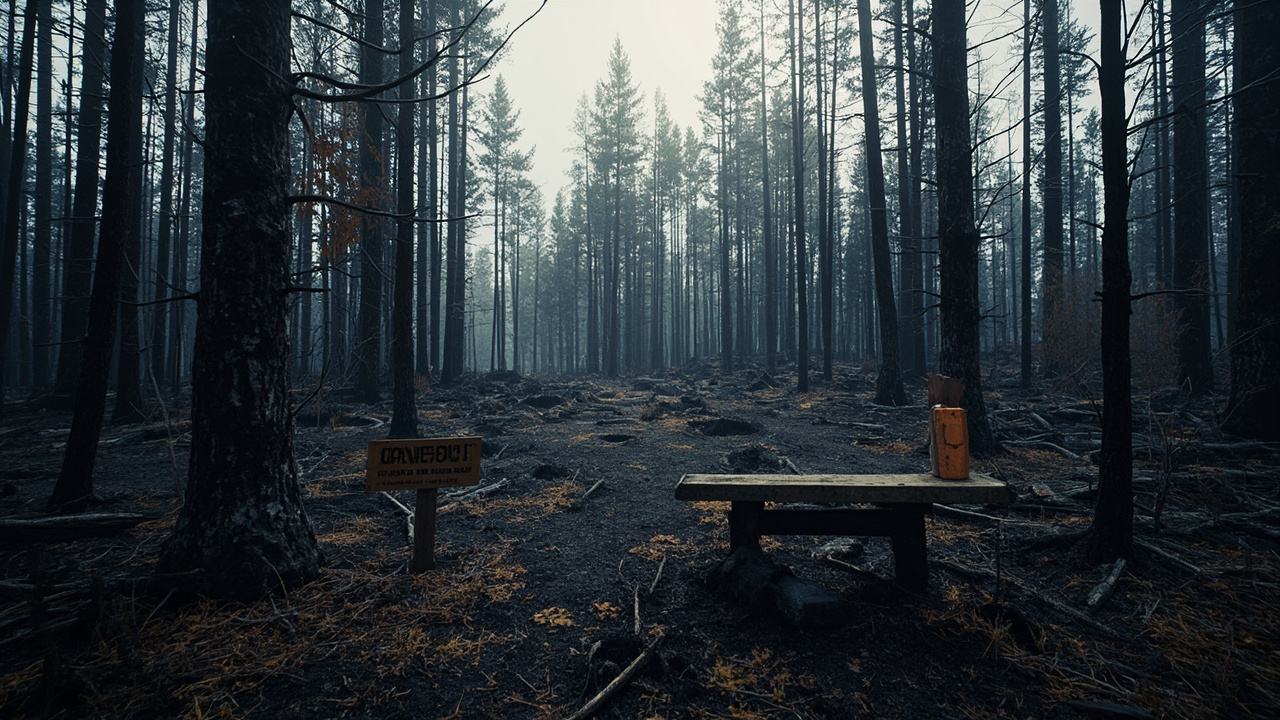
Superior Forest Orders Partial Reopening After July Wildfires — But Hazards Remain
TL;DR: Superior National Forest Order 09-09-00-26-11 takes effect October 1, 2026, reopening four Boundary Waters entry points for day and overnight use while keeping fire-damaged entries, portages, campsites and Echo Trail lands closed through April 1, 2027.
Effective October 1, 2026, the Superior National Forest's new Forest Closure Order 09-09-00-26-11 is in effect with reopening changes for day and overnight use in the Boundary Waters Canoe Area Wilderness (BWCAW) and surrounding National Forest System lands, according to the Forest Service release titled Superior National Forest | New Wildfire Impacted Area Forest Closure Order | Forest Service. The release, dated September 30, 2026, lists contact information for Joy VanDrie – Public Affairs Staff Officer at [email protected] and states that details appear in Exhibit A–List and Exhibit B–Map. The action follows wildfires from a lightning storm on July 7, 2026, according to the Forest Service alert titled Post Wildfire Closures, Effective October 1, 2026. That alert sets the alert start date as October 1, 2026 and the alert end date as April 1, 2027, under Order Number 09-09-00-26-11.
The reopening covers BWCAW entry points 11–Blandin Trail, 16–Moose/Portage River North, 20–Angleworm Lake, and 21–Angleworm Trail. For the Angleworm Trail entry points, the Forest Service states there is no travel north of Home–Gull Portage. Continued work by forest staff and volunteers has allowed for access into these reopened areas, according to the September 30 release. Visitors should remain diligent about entering fire-impacted areas and watch for wildfire hazards like fire-weakened hazard trees and burnt stump holes. Additionally, the release states that some campsites and portages in newly reopened areas remained closed due to direct wildfire impacts and advises visitors to plan extra time to find a campsite if traveling through these areas with campsite and portage closures.
What Order 09-09-00-26-11 Changes on October 1
Four BWCAW entries return for day and overnight use
The core change is a partial reopening for day and overnight use as listed in Exhibit A–List and Exhibit B–Map, according to the Forest Service release. The four reopened BWCAW entry points are 11–Blandin Trail, 16–Moose/Portage River North, 20–Angleworm Lake, and 21–Angleworm Trail.
The limit for Angleworm Trail entry points is explicit: no travel north of Home–Gull Portage. That boundary matters for route planning because it defines how far travelers using entries 20 and 21 can legally proceed. Exhibit A Lists and Exhibit B Maps are available on the Superior National Forest's Alert website, and the map will display closed portages and campsites, according to the release.
Coverage in the WDIO.com report titled Officials provide update on BWCA openings, some closures remain in place through 2027 adds that North Hegman and Angleworm portages are also open. The same WDIO report states that sites at Ramshead, Nina Moose and Agnes Lakes were not impacted by fires. It also states that additional campsites have reopened around South Arm Knife Lake and Lake Agnes, while noting that maps and detailed lists of closures and openings are available on the Superior National Forest's Alert website.
Which ranger districts are affected
The September 30 Forest Service release headline describes the order as reopening some entry points and areas on the Kawishiwi and LaCroix Ranger Districts. The related Forest Service alert states that the described areas include National Forest System lands within multiple Ranger Districts of the Superior National Forest in Lake, St. Louis and Cook Counties, as described in Exhibit A and depicted in Exhibit B maps.
For trip planning, the district offices named in the order are the Supervisor's Office in Duluth, the Gunflint District Office in Grand Marais, the Kawishiwi District Office in Ely, and the LaCroix District Office in Cook. The Forest Service alert lists the Supervisor's Office in Duluth at 218-626-4300, Gunflint District Office in Grand Marais at 218-387-1750, Kawishiwi District Office in Ely at 218-365-7600, and LaCroix District Office in Cook at 218-666-0020. The Supervisor's Office address is given as 8901 Grand Avenue Place, Duluth, MN 55808, with the main number (218) 626-4300.
What Stays Closed Through Spring 2027
Three entry points closed for the season
Closed for the season BWCAW entry points are 14–Little Indian Sioux River North, 15–Sioux-Hustler Trail, and 19–Stuart River, according to the Forest Service release. The release states these areas were directly impacted by the wildfires and need maintenance and rehabilitation to ensure they are accessible to visitors.
The WDIO report states that entry points Little Indian Sioux River North, Sioux-Hustler Trail and Stuart River will stay closed through spring 2027 for maintenance and rehabilitation and that parking lots for these areas are also closed. That parking-lot detail is important for wilderness readiness because arriving at a closed lot does not create an alternate legal entry. Travelers must select an open entry point and check the Exhibit A list before driving north.
Portages, campsites and Echo Trail lands still restricted
The WDIO report states that portages from Agnes to Oyster River and from Boulder River to Dahlgren River remain closed. It also states that some campsites affected by wildfires remain closed. The Forest Service release separately confirms that some campsites and portages in newly reopened areas remained closed due to direct wildfire impacts.
Portions of National Forest System land north along the Echo Trail remain closed to use, according to the Forest Service release. The release adds that while the Echo Trail is open, travelers are reminded to use caution and expect delays as wildfire operations continue along the corridor. For backcountry drivers and paddlers using Echo Trail access, that means the road itself is not the closure boundary; adjacent National Forest System lands north of the corridor include closed ground shown in the exhibits.
For Forest Order exhibits and maps, the Forest Service directs visitors to https://fs.usda.gov/r09/superior/alerts. The alert page states that Exhibit A – Described Areas and Exhibit B – Maps are located under Associated Documents, along with the Forest Order itself, a press release, civil rights memorandum, and implementation and enforcement plan.
Why the Forest Service Issued a Long-Term Closure
Lightning storm origin and public safety purpose
The Forest Service alert attributes the closures to wildfires from a lightning storm on July 7, 2026, affecting portions of the BWCAW and areas along the Echo Trail north of Ely. The prohibitions cover entering, being on trails, or camping as described in Forest Order 09-09-00-26-11 Emergency Closure Order, effective October 1, 2026.
The stated purpose in the order is to provide for public health and safety due to long-term impacts from wildfire activity. Implementation runs from October 1, 2026 through April 1, 2027 or until rescinded, according to the alert. The alert states that the order supersedes any previous orders prohibiting the same or similar acts in the same described area. It was signed in Duluth, MN, on September 30, 2026, by Drew Stroberg, Acting Forest Supervisor for Superior National Forest.
What is legally prohibited
Pursuant to 16 U.S.C. § 551 and 36 C.F.R. § 261.50 (a), the order prohibits three categories of activity on the described National Forest System lands in Superior National Forest, according to the alert. The prohibitions are going into or being upon the described area under 36 C.F.R. § 261.52 (e), being on described trails under 36 C.F.R. § 261.55 (a), and camping on described areas under 36 C.F.R. § 261.58 (e).
Exemptions apply to persons with Forest Service Permit No. FS-7700-48 specifically exempting them from the order or a written determination by an authorized officer that a permit is not required under 36 C.F.R. § 251.50(e)(1), and to any federal, state, or local officer or member of an organized rescue or firefighting resource in performance of an official duty, according to the alert. A violation is punishable as a Class B misdemeanor by a fine of not more than $5,000 for individuals and $10,000 for organizations, or by imprisonment for not more than six months, or both, under 16 U.S.C. § 551 and 18 U.S.C. §§ 3559, 3571, and 3581.
How to Travel Reopened Burn Areas Safely
Watch for hazard trees and stump holes
The Forest Service release instructs visitors to remain diligent about entering fire-impacted areas and to watch for wildfire hazards like fire-weakened hazard trees and burnt stump holes. That warning applies even where an entry point is listed as reopened, because reopened does not mean undamaged.
The practical step is to check the Exhibit B map for closed portages and campsites before choosing a route, since the Forest Service states the map will display closed portages and campsites. In reopened zones, travelers should expect that a mapped campsite or portage may still be closed from direct wildfire impacts. The WDIO report echoes the agency warning to stay alert for weakened trees and burnt stump holes.
Plan extra time to find a campsite
The Forest Service release states that continued work by forest staff and volunteers has allowed access into reopened areas, but some campsites and portages in newly reopened areas remained closed. It advises visitors to plan extra time to find a campsite when traveling through areas with campsite and portage closures.
For overnight groups, that means building daylight margin into the day rather than planning to reach a single preferred site. If the first-choice site is closed or unsafe, the backup site may also be closed. The WDIO report repeats the agency guidance that people should plan extra time to find a campsite because some campsites and portages in reopened areas remain closed due to wildfire damage.
Use caution on the Echo Trail corridor
While the Echo Trail is open, the Forest Service states travelers are reminded to use caution and expect delays as wildfire operations continue along the corridor. Portions of National Forest System land north along the Echo Trail remain closed to use.
Drivers should therefore treat the Echo Trail as an active operations corridor, not a normal fall access road. Expect work activity, possible holds, and no legal dispersal onto closed lands to the north. Confirm the current Exhibit A described areas and Exhibit B maps at the Superior National Forest Alert website before travel, as directed by the agency.
Readiness Checklist Before You Launch
Check Order 09-09-00-26-11 Exhibits A and B at the Superior National Forest Alert website and confirm that your entry point, portages, and intended campsites are not listed as closed. Do not travel north of Home–Gull Portage when using Angleworm Trail entries 20 and 21. Avoid entries 14, 15, and 19 and their parking lots, and avoid the Agnes to Oyster River and Boulder River to Dahlgren River portages identified as closed in the WDIO report. Carry the district phone numbers for Duluth, Grand Marais, Ely, and Cook, and contact the Ranger District or Supervisor's Office for more information about the order, as the alert advises.
Sources referenced
- Post Wildfire Closures, Effective October 1, 2026 | Forest Service (https://www.fs.usda.gov/r09/superior/alerts/post-wildfire-closures-effective-october-1-2026)