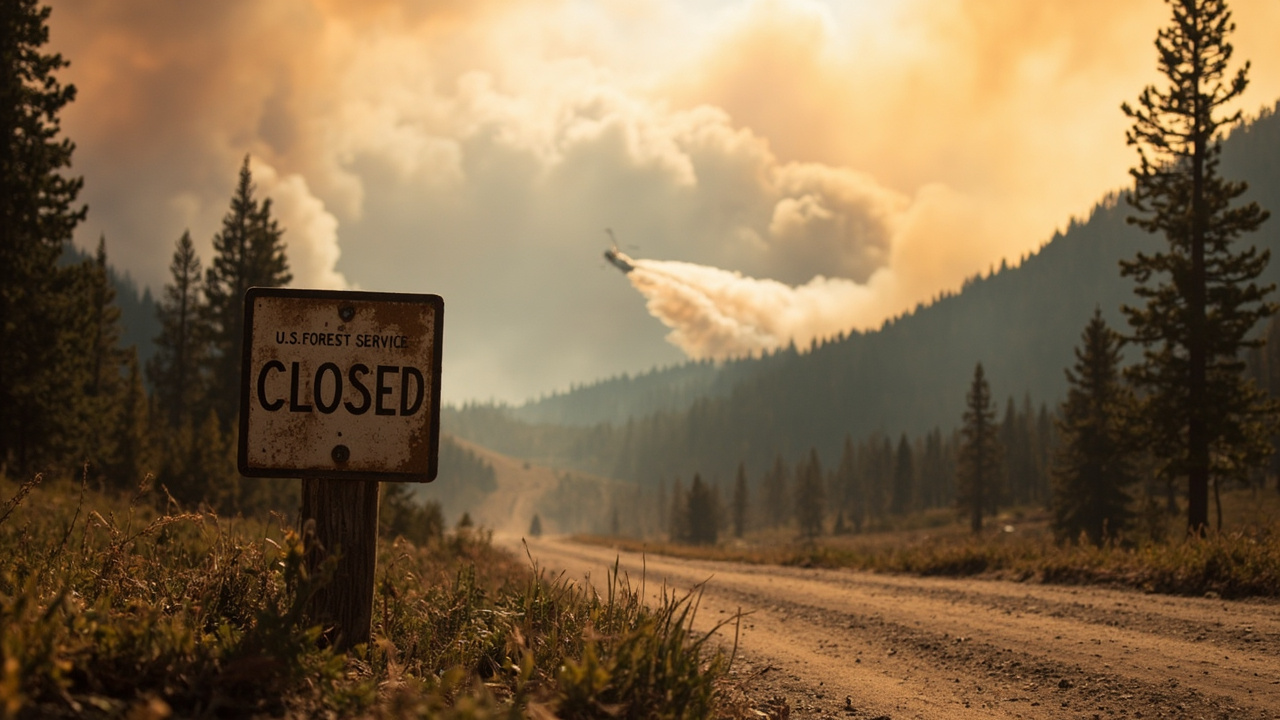
Buckhorn Fire Closure: What Is Closed Around Fairfield Ranger District
TL;DR: The U.S. Forest Service-Sawtooth National Forest closed part of the Fairfield Ranger District around the Buckhorn Fire on Sept. 15, with the order expected to run until Nov. 1.
The newest verified action on Sept. 15, 2026 is an area closure, not a reopening. According to KMVT in U.S. Forest Service puts up closure order around the Buckhorn fire, the U.S. Forest Service-Sawtooth National Forest closed a portion of the Fairfield Ranger District because of the Buckhorn Fire. The report was published Sept. 15, 2026 at 12:31 PM MDT and credited to Jennifer Williams. The order took effect Sept. 15 and is expected to continue until Nov. 1.
The fire itself held at 161 acres. According to KMVT in Firefighters gain ground on Buckhorn Fire in Camas County, the blaze near the Kelly Creek Trailhead in Camas County had scorched 161 acres and reached 15% containment after days of work in heavy timber with flames reaching up to 250 feet high. That containment figure reflects progress reported Sept. 13 at 10:39 PM MDT and carried into the Sept. 15 closure day. The cause remains under investigation.
Which roads and trails closed Sept. 15
The Sept. 15 closure names one National Forest System road and three named trails. The closed road is NFS Road #166D4. The closed trails are Blue Ridge Trail, Middle Fork Lime Creek Trail, and Kelly Creek/Iron Mountain Trail.
That list matters for trip planning because the district contains interlinked routes where one closed segment can block a loop. The Forest Service notice described the action as closing part of the Fairfield Ranger District. It said the closure includes several roads and trails. Backcountry travelers should treat the named road and the three named trails as off-limits through the stated period.
The agency also released a map showing the Buckhorn Fire area closure. The map was credited to the U.S. Forest Service-Sawtooth National Forest. Anyone navigating near Camas County should use that official map rather than relying on memory of past access.
What remains open near Baumgartner and Kelley Creek
The closure does not include Baumgartner Campground. That exception is explicit in the Sept. 15 order summary.
It also does not include Kelley Flats Camping areas A, B, C, and D. Those sites sit between Baumgartner Campground and the beginning of the West Fork Kelley Creek Trail. The distinction helps campers understand that front-country camping near Baumgartner remains described as open while the specified fire-area routes are closed.
Additional roads in the Kelley Creek/Baumgartner area are listed as open. The open roads are 487, 487A, 487B, 487C, 071, 071A, 071B, 071C, 071D, and 596. Each number appeared in the Forest Service summary republished Sept. 15.
Additional trails in the same Kelley Creek/Baumgartner area are also listed as open. The open trails are 609, 610, 611, 612, and 622. That open list sits alongside the closed list, so readers should check numbers carefully before leaving a trailhead.
The practical point is narrow. Some campgrounds, roads, and trails remain open, while the fire-area road and trails named in the order are closed. Do not assume that an open campground means nearby ridges or connecting trails are open.
Fire size, location and containment on closure day
The Buckhorn Fire is burning west of Camas County near Elmore County. Early reporting Sept. 11 described a small 3-acre fire Thursday evening along the border of Camas County and Elmore County that spread into timber patches at the top of the mountain. Higher temperatures Friday led to increased fire activity, and the reported size grew to around 100 acres that day before reaching 161 acres.
The U.S. Forest Service placed the fire about 4 miles south of the Kelly Trailhead in the Fairfield Ranger District. Other updates refer to the Kelly Creek Trailhead in Camas County. The location description is consistent across reports leading to Sept. 15: a remote, high-country site with limited road access and steep terrain.
As of Tuesday, Sept. 15, the fire was still at 161 acres with 15% containment, according to the U.S. Forest Service as republished by KMVT in Buckhorn Fire stays at 161 acres, some resources set to be released. That same update said there had been no significant growth over the last three shifts. It also said firefighters were still finding a lot of hot spots with potential to threaten the line.
The lack of visible smoke does not mean the fire is out. The Forest Service message carried in that update asked people to stay away and obey the Forest Service closure. Officials in the Sept. 13 report also reminded the public to stay clear of the area and continue checking for updates as crews build containment.
Why crews used aircraft and indirect tactics
Access shaped the entire response. Because of limited road access and steep terrain, much of the work getting firefighters into position was done by aircraft, according to the Forest Service. Smokejumpers were inserted near the fire Friday evening, and multiple helitack modules were flown in. Additional crews were ordered, and a local ad hoc Type 3 incident management team was put in place.
The Boise smokejumpers and Boise helitack worked one flank, while Southern Idaho personnel worked from the heel to the north on the other side. That division was described in a Forest Service Facebook post summarized Sept. 12. Crews continued to be inserted by aircraft because ground access remained limited.
Fire behavior forced distance. On Saturday, Sept. 12, southern winds pushed the fire back onto itself, according to the U.S. Forest Service as reported by KIVI in Buckhorn Fire remains 0% contained at 161 acres near Elmore-Camas county line. The fire was more subdued and showed little growth that night and remained within its existing footprint. Even so, torching trees and high flame lengths forced crews to use indirect suppression tactics.
Flame lengths estimated at 100 to 220 feet in heavy timber prevented a direct attack, according to the Forest Service. The Sept. 13 update described flames reaching up to 250 feet high and said flame heights were too dangerous to attack head-on. The fire was moving toward Beaver Creek. Much of the heavy fuels had already burned, which was expected to decrease the very tall flame heights seen during an earlier shift, but crews remained outside timber stringers for safety.
The fuel type added hazard. The fire burned in high-elevation, subalpine timber with falling trees and dense patches of snags. Snags are standing dead trees likely to fall. The Forest Service described snags as among the leading hazards faced by wildland firefighters. The Sept. 13 report likewise described the area as filled with snags, dead and hazardous trees that officials say are one of the leading causes of firefighter injuries and deaths on the fire line.
Instead of a direct assault, crews took an indirect approach. They pulled back to safer terrain where they could hold the line without putting lives at risk. Sierra Hellstrom, public information officer for the U.S. Forest Service, said aviation resources had to carry the access burden, whether smokejumpers jumping the fire or helitack shuttling crews to the scene rather than engines and other equipment.
Aerial cooling supported ground work. Crews used helicopter bucket drops and scooper aircraft to cool hot spots. Most activity was on the east side, where firefighters worked spot fires. Approximately 103 personnel were assigned to the fire in the Sept. 12 reporting window.
The management approach was full suppression, but officials said operations were planned carefully to limit risks to firefighters. On the east side, crews checked and worked at least 30 feet inside the fire edge, with a few hot spots found near east and south perimeters. Helicopters were to drop water as needed to cool those areas.
How to handle the closure in the field
Do not enter NFS Road #166D4, Blue Ridge Trail, Middle Fork Lime Creek Trail, or Kelly Creek/Iron Mountain Trail while the order is in effect. The order took effect Sept. 15 and is expected to run until Nov. 1.
Use only the routes the order leaves open if traveling in the Kelley Creek/Baumgartner vicinity. Those are roads 487, 487A, 487B, 487C, 071, 071A, 071B, 071C, 071D, and 596, and trails 609, 610, 611, 612, and 622. Confirm the number on the ground matches the open list before proceeding.
Stay clear of the fire perimeter even where smoke looks light. Fire managers said confidence that the fire would not grow did not mean hot spots were gone. Stay away and obey the Forest Service closure, and continue checking for updates as crews work to build containment.
Campers heading to Baumgartner Campground or Kelley Flats Camping areas A through D should still expect nearby restrictions. The camping areas between Baumgartner Campground and the beginning of West Fork Kelley Creek Trail are outside the closure, but connecting routes into the fire area are not. Plan turnarounds in advance because limited road access and steep terrain constrain both recreation traffic and emergency response.