TL;DR: Hikers should avoid the 52-acre Piute Fire area near Piute Lake or use the posted wilderness detour, as Stanislaus National Forest officials report 75% containment with patrol status on two flanks and no formal trail closures on Oct. 9, 2026.
Hikers Told To Steer Clear Of Active Fire Ground
Stanislaus National Forest officials ask hikers to avoid the Piute Fire area or select alternate trail routes because hazards may be present, according to myMotherLode.com.
The request was reported from Sonora, CA, in a story by Tracey Petersen published Oct. 9, 2026 at 12:48 p.m., according to myMotherLode.com.
Containment had climbed to 75 percent at the time of that update, according to myMotherLode.com.
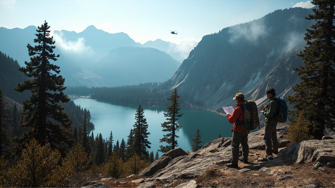
The lightning-caused blaze was described as currently 52 acres burning near Piute Lake in the forest's Emigrant Wilderness, according to myMotherLode.com.
There were currently no trail closures, but hikers were asked to "exercise caution in the area, as hazards may be present," according to myMotherLode.com.
The guidance applies to backcountry travel around Piute Lake and connecting routes out of Crabtree Trailhead, according to myMotherLode.com.
Forest officials provided specific detour directions for the 20E16 trail east of Gem Lake, according to myMotherLode.com.
Nearby areas may see drift smoke while work continues, according to myMotherLode.com.
Where The Fire Is Burning
Emigrant Wilderness Location
The fire is burning near Piute Lake in the Emigrant Wilderness of Stanislaus National Forest, according to myMotherLode.com.
Piute Lake sits along trail 20E16 out of the Crabtree Trailhead, according to myMotherLode.com.
Crews are using Crabtree Road to access the fire, according to myMotherLode.com.
Fire crews are utilizing Crabtree Trailhead on Crabtree Road to access the fire, according to myMotherLode.com.
The lake is surrounded by steep, granitic terrain and patches of high-elevation coniferous forest at 7,865 feet, according to myMotherLode.com.
That combination of steep granite and high-elevation forest shapes both fire behavior and hiker movement around the lake basin, based on the terrain description reported by myMotherLode.com.
A Stanislaus National Forest map shows the Piute Fire perimeter, according to myMotherLode.com.
County And Land Context
The Piute Fire is in Tuolumne County, California, about near Piute Lake, according to the Fresno Bee.
The fire has burned federal land managed by the United States Forest Service, according to The Tribune in San Luis Obispo.
The blaze is believed to have occurred naturally, according to The Tribune in San Luis Obispo.
One incident summary placed the initial start at 4:36 p.m. Oct. 3 about near Piute Lake in Tuolumne County, California, according to the Fresno Bee.
Another incident summary placed the initial start at 9:18 a.m. Sep. 30 in Tuolumne County, California, according to The Tribune in San Luis Obispo.
By Tuesday evening it had burned 47 acres, according to the Fresno Bee.
As of Tuesday evening, 5% of the fire was brought under containment, according to the Fresno Bee.
By Wednesday evening, it had burned 52 acres, an increase of five acres since the last update, according to The Tribune in San Luis Obispo in a separate fire update.
The 52-acre figure matches the size reported in the Oct. 9 wilderness warning, according to myMotherLode.com.
Containment And Patrol Status Explained
What 75 Percent Means For Hikers
Containment on the Piute Fire had climbed to 75 percent when forest officials issued the hiker warning, according to myMotherLode.com.
Containment is normally expressed as a percentage and it refers to how much of the fire perimeter has been surrounded or enclosed by a control line that firefighters create, according to the Fresno Bee.
The percentage tells the public how much of the fire perimeter is believed to not go beyond the control lines, according to the Fresno Bee.
Containment does not mean a fire is out, according to the Fresno Bee.
The containment percentage indicates a certain level of control, but it does not always correlate to safety level, according to the Fresno Bee.
That distinction matters for wilderness readiness because a largely contained fire can still present hazards to hikers inside or beside the perimeter, a caution reflected in the forest request to avoid the area, according to myMotherLode.com.
North And South Sides In Patrol Status
Fire officials updated that the north and south sides of the fire are in patrol status as crews continue to secure the perimeter, according to myMotherLode.com.
The incident's central command constantly receives progress reports from firefighters on the ground, according to the Fresno Bee.
As the fireline is constructed, inspected or reinforced, mappers record those details to adjust the containment percentage, according to the Fresno Bee.
Crews working in the federally designated wilderness area are utilizing wilderness-appropriate minimum impact suppression tactics, known as MIST, to contain the fire, according to myMotherLode.com.
Minimum impact tactics are the suppression approach identified for work inside federally designated wilderness in this incident, according to myMotherLode.com.
For hikers, patrol status means crews remain assigned to check and secure the edge rather than leaving the perimeter unattended, according to the status description reported by myMotherLode.com.
Posted Wilderness Detour Around Piute Meadow
Step-By-Step Alternate Route
Forest officials gave detour directions to hikers traveling on the 20E16 trail east of Gem Lake, according to myMotherLode.com.
Hikers on that section can detour south on the 19E90 trail at Piute Meadow through Groundhog Meadow, according to myMotherLode.com.
From Groundhog Meadow, the detour heads east on the 20E17 Pine Valley Trail, according to myMotherLode.com.
The route then heads north on the 20E98 Trail up to Gem Lake, according to myMotherLode.com.
At Gem Lake, hikers once again tie in with the 20E16 trail to the Buck Lakes area, according to myMotherLode.com.
The full sequence therefore links 20E16 to 19E90 to 20E17 to 20E98 and back to 20E16 toward Buck Lakes, according to myMotherLode.com.
Travelers should confirm trail numbers at junctions because the detour uses four numbered trails around Piute Meadow, Groundhog Meadow, Pine Valley and Gem Lake, according to myMotherLode.com.
Crabtree Access Remains Active For Crews
Crabtree Trailhead on Crabtree Road is being used by fire crews to access the fire, according to myMotherLode.com.
Crabtree Road is the access route identified for crew movement, according to myMotherLode.com.
Hikers planning to start at Crabtree Trailhead should expect fire personnel and incident traffic in the trailhead area, based on the crew-access information reported by myMotherLode.com.
Choosing the Piute Meadow detour reduces time spent near the active work zone while preserving access to the Buck Lakes area, based on the alternate route described by myMotherLode.com.
The forest has not listed formal trail closures, so route choice remains with the hiker under the caution advisory, according to myMotherLode.com.
Resources On Scene And Smoke Outlook
Personnel And Aircraft Assigned
Resources on the scene include 31 personnel, one Type-1 helicopter, and one Type-2 helicopter, according to myMotherLode.com.
The Type-1 helicopter and Type-2 helicopter are the two aircraft listed in the Oct. 9 update, according to myMotherLode.com.
The 31 personnel are the staffing figure listed alongside those aircraft, according to myMotherLode.com.
Mappers adjusting containment receive progress reports from firefighters on the ground as fireline work proceeds, according to the Fresno Bee.
That ground-to-command information flow supports patrol of the north and south sides while perimeter work continues, according to the combined incident details from myMotherLode.com and the Fresno Bee.
Drift Smoke Near Trails
Nearby areas may see drift smoke, according to myMotherLode.com.
Smoke can reduce visibility along ridges, granite basins and forested trail sections around the 7,865-foot lake basin described in the warning, based on the terrain and smoke information reported by myMotherLode.com.
Hikers sensitive to smoke should factor drift smoke into plans for Piute Meadow, Groundhog Meadow, Pine Valley Trail, Gem Lake and Buck Lakes travel, based on the listed detour points and smoke notice from myMotherLode.com.
What Wilderness Hikers Should Do Next
Exercise Caution If You Must Pass Through
While there are currently no trail closures, hikers are asked to exercise caution in the area, according to myMotherLode.com.
Avoiding the immediate fire area is the primary request from forest officials, according to myMotherLode.com.
Considering alternate trail routes is the second option named in the warning, according to myMotherLode.com.
The alternate route named for eastbound 20E16 travel is the Piute Meadow to Groundhog Meadow to Pine Valley to Gem Lake link back to Buck Lakes travel, according to myMotherLode.com.
Carry the listed trail numbers on a map because junctions for 20E16, 19E90, 20E17 and 20E98 define the detour, according to myMotherLode.com.
Expect crew activity around Crabtree Road and Crabtree Trailhead when approaching or leaving the Emigrant Wilderness, according to myMotherLode.com.
Sources referenced
- Forest Warns Hikers To Avoid Piute Fire Area - myMotherLode.com (https://mymotherlode.com/news/local/11208014/forest-warns-hikers-to-avoid-piute-fire-area.html)
- Update: Piute Fire in Tuolumne County at 5% containment - Fresno Bee (https://www.fresnobee.com/news/california/fires/article317519939.html)