TL;DR: Yosemite's Dome Fire stood at 4,030 acres with 15% containment and 789 personnel on the morning of September 24, 2026, with Glacier Point Road closed and crews building handlines near Empire Meadows, Horse Ridge and Bridalveil Creek.
Morning status: 4,030 acres, 15% containment
The U.S. National Park Service morning news release for September 24, 2026, listed the Dome Fire at 4,030 acres with 15% containment and 789 personnel assigned, according to Dome Fire Update September 24 2026 morning - Yosemite National Park (U.S. National Park Service).
The same update stated that the fire increased 194 acres from yesterday.
The update stated that there are no imminent threats to infrastructure.
Structure firefighters continue to support the Wawona and Yosemite West communities, according to the National Park Service update.
Yosemite National Park is open and operating normally, with the following exceptions described in the closure section of that update.
The park information line listed in the update is 209/372-0200.
Where crews are working
Wildland firefighters made progress connecting handlines to the Bridalveil Creek trail system and 2017 Empire Fire footprint, according to the National Park Service morning update.
Crews continue to widen handlines in the Empire Meadows and Horse Ridge areas.
Wildland firefighters are continuing to place contingency lines off of Glacier Point Road.
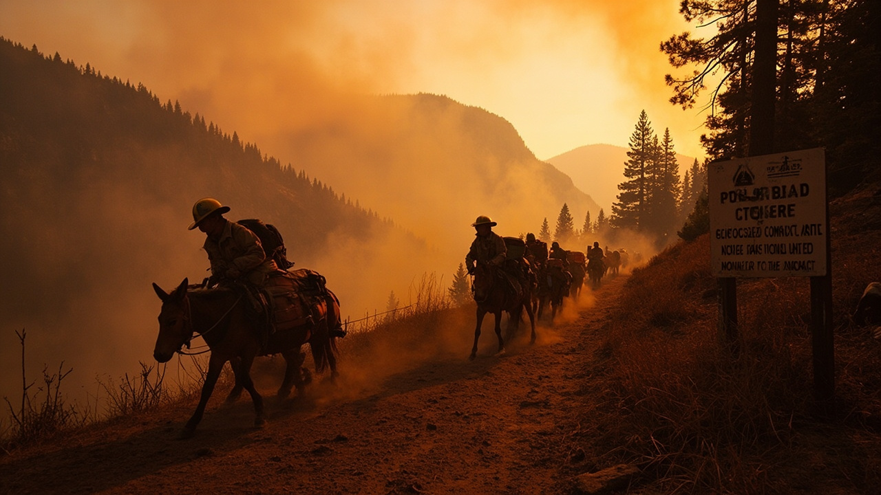
The update described mule pack strings and helicopters as providing crews with supplies and backhaul.
An additional pack string is set to support crews working in the Bridalveil Creek trail system, staging at the campground, according to the same National Park Service update.
For wilderness readiness, the operational picture is handlines tied to trails and an old fire footprint, contingency lines near a main road, and supply movement by pack stock and aircraft into areas beyond vehicle access.
Why mules are carrying the load
Pack mules are helping fight the Dome Fire in Yosemite by hauling critical supplies into remote backcountry areas where vehicles cannot go, according to Pack mule team from Shasta-Trinity National Forest working Dome Fire in Yosemite | Covering California | actionnewsnow.com.
That Action News Now report, published September 24, 2026, stated that the fire had burned over 4,000 acres and was 15% contained.
The report identified the Weaverville Ranger District pack team from the Shasta-Trinity National Forest as supporting the Dome Fire in Yosemite National Park.
The team is using mules to transport essential supplies to firefighters working in remote, rugged terrain where vehicles cannot reach, according to the report.
Five mules have been deployed to perform the heavy lifting: Annie, Banjo, Arlo, Gilligan and Waffles.
The animals and their packers are helping keep firefighters supplied miles into the backcountry, according to the United States Forest Service as reported by Action News Now.
A second pack team from the Stanislaus National Forest is working alongside the Shasta-Trinity team.
Officials say the collaboration represents U.S. Forest Service resources coming together to support National Park Service partners and firefighters on the ground, according to the same report.
For backcountry planning, the lesson is direct: routes that look short on a map can require pack-supported logistics once vehicles cannot reach the work area.
Glacier Point Road closure and open hiking routes
Glacier Point Road is closed due to reduced visibility from smoke and to safely allow firefighting operations, according to the National Park Service morning update.
Glacier Point Road will reopen when conditions allow.
The Four Mile Trail and Panorama Trail, providing access to Glacier Point, will remain open to hikers.
Backpackers already parked overnight at Glacier Point will be allowed to exit after the closure begins.
The Chilnualna Falls trail, as well as the trails from the top of Chilnualna Falls toward Buena Vista and Crescent Lakes, are closed due to the Dome Fire.
Those lakes are reachable from the east, according to the update.
The Ostrander Trail and all areas and trails south of it are closed.
The closed area extends east of the Wawona Road from Wawona to Chinquapin, as seen on the public information map referenced in the update.
Visitors and staff are encouraged to stay informed and take precautions as needed, according to the National Park Service.
Airport closure
The Mariposa-Yosemite Airport is closed to general aviation traffic, according to the National Park Service morning update.
No civilian aircraft may take off or land from KMPI at this time.
The closure applies to takeoff and landing operations for civilian aircraft at that airport.
Travelers using general aviation should not plan to use KMPI while the closure described in the update remains in effect.
Weather ahead: warmer, drier, wind shift
Tomorrow brings warmer weather and dryer conditions, according to the National Park Service morning update.
Transport winds will increase slightly, from 10mph to 15mph on average moving southwest.
With these conditions, increased spotting is possible.
Ignition probability in receptive fuel beds, described as areas with heavy dead, down trees, is at 65%.
August rain in the Bridalveil Creek drainage will make smaller fuels resistant to fire spread, according to the update.
Larger fuel types are still susceptible to spotting behaviors.
For readiness near the fire area, the combination to track is rising transport winds, dry conditions, dead-and-down fuels, and possible spotting.
Smoke outlook by location
Periods of UNHEALTHY FOR SENSITIVE GROUPS were expected this morning in Wawona and Yosemite Valley, with smoke clearing in the afternoon, according to the National Park Service morning update.
Mariposa and Hodgdon Meadow are expected to experience mostly MODERATE air quality.
El Portal is expected to see periods of UNHEALTHY FOR SENSITIVE GROUPS.
Tuolumne Meadows will have GOOD air quality in the morning with periods of UNHEALTHY FOR SENSITIVE GROUPS in the afternoon and evening.
Smoke settling overnight was expected in Wawona and Yosemite Valley.
Smoke impacts from the Dome Fire are expected to continue affecting air quality in Yosemite National Park.
The update directs readers to the daily Smoke Outlook for Central Sierras and to fire.airnow.gov for current conditions in Yosemite and the region.
The daily Smoke Outlook referenced is Central Sierras.
Current conditions for Yosemite and the region are available at fire.airnow.gov, according to the update.
What to do if you are in Yosemite
Check the public information map referenced in the National Park Service update before traveling on Wawona Road between Wawona and Chinquapin.
Do not enter the Chilnualna Falls trail closure or the trails from the top of Chilnualna Falls toward Buena Vista and Crescent Lakes.
Do not enter Ostrander Trail or areas and trails south of it while the closure described in the update remains in effect.
Use Four Mile Trail or Panorama Trail for hiking access to Glacier Point while Glacier Point Road remains closed to vehicles.
If parked overnight at Glacier Point, follow the exit allowance described for backpackers already parked there.
Monitor the Central Sierras Smoke Outlook and fire.airnow.gov for changing smoke conditions in Wawona, Yosemite Valley, El Portal, Mariposa, Hodgdon Meadow and Tuolumne Meadows.
Use the park information line at 209/372-0200 for current park information described in the update.