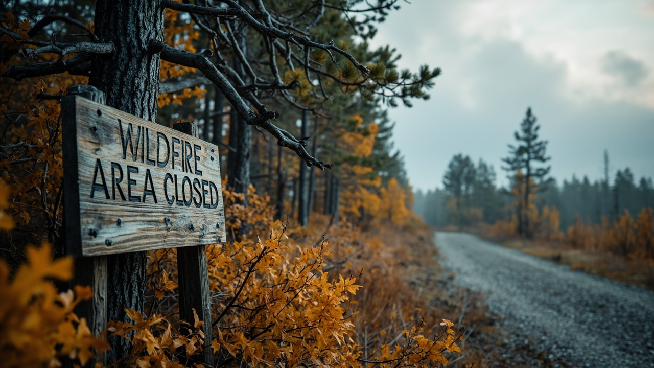
TL;DR: Superior National Forest's Forest Order 09-09-00-26-11 keeps portions of the Boundary Waters Canoe Area Wilderness and land along the Echo Trail north of Ely closed from October 1, 2026 through April 1, 2027 after July 7, 2026 lightning fires.
New closure order controls fall and winter access
Effective October 1, 2026, Superior National Forest enforces Forest Order 09-09-00-26-11 for wildfire-impacted areas, according to the Post Wildfire Closures, Effective October 1, 2026 page. The order runs through April 1, 2027, or until rescinded. It covers National Forest System lands in Lake, St. Louis and Cook Counties across multiple Ranger Districts. Exhibit A describes the affected areas and Exhibit B maps show the boundaries. The stated purpose is public health and safety due to long-term impacts from wildfire activity.
The order prohibits going into or being upon the described area, being on described trails, and camping in described areas. The prohibitions cite 36 C.F.R. § 261.52(e), 36 C.F.R. § 261.55(a) and 36 C.F.R. § 261.58(e). Exemptions apply to holders of Forest Service Permit No. FS-7700-48 specifically exempting them, or persons with a written determination by an authorized officer that a permit is not required under 36 C.F.R. § 251.50(e)(1). Federal, state or local officers and members of an organized rescue or firefighting resource performing an official duty are also exempt.
A violation is punishable as a Class B misdemeanor by a fine of not more than $5,000 for individuals and $10,000 for organizations, or by imprisonment for not more than six months, or both. The order cites 16 U.S.C. § 551 and 18 U.S.C. §§ 3559, 3571 and 3581. It supersedes previous orders prohibiting the same or similar acts in the same described area. It was signed in Duluth, Minnesota, on September 30, 2026, by Acting Forest Supervisor Drew Stroberg. Contact points listed are the Supervisor's Office in Duluth at 218-626-4300, Gunflint District Office in Grand Marais at 218-387-1750, Kawishiwi District Office in Ely at 218-365-7600, and LaCroix District Office in Cook at 218-666-0020.
What reopened October 1 on Kawishiwi and LaCroix districts
The September 30, 2026 release titled New Wildfire Impacted Area Forest Closure Order states that Order 09-09-00-26-11 includes reopening changes for day and overnight use on the Kawishiwi and LaCroix Ranger Districts. Reopened Boundary Waters Canoe Area Wilderness entry points are 11–Blandin Trail, 16–Moose/Portage River North, 20–Angleworm Lake, and 21–Angleworm Trail. For the Angleworm Trail entries, the release specifies no travel north of Home–Gull Portage.
The release credits continued work by forest staff and volunteers for allowing access into the reopened areas. It directs visitors to Exhibit A lists and Exhibit B maps on the Superior National Forest alert website. The map displays closed portages and campsites. Public Affairs Staff Officer Joy VanDrie is listed as the contact at [email protected]. The alert website address given for exhibits and maps is https://fs.usda.gov/r09/superior/alerts.
What stays closed for the season
The same September 30 release identifies Boundary Waters entry points 14–Little Indian Sioux River North, 15–Sioux-Hustler Trail, and 19–Stuart River as closed for the season. The stated reason is direct wildfire impacts and the need for maintenance and rehabilitation to ensure accessibility. Portions of National Forest System land north along the Echo Trail remain closed to use. The release notes that the Echo Trail itself is open, while travelers should use caution and expect delays as wildfire operations continue along the corridor.
Additional campsites and portages in newly reopened areas remain closed due to direct wildfire impacts. Visitors traveling through those areas are advised to plan extra time to find a campsite. Recreation-site status under a separate action, Order #09-09-00-26-10, is tracked through the Wildfire Emergency Closure Issued for Affected Recreation Sites alert, which points to the most recent Exhibit A list and Exhibit B map. Prior phased Boundary Waters closures under Order 09-09-06-26-07 ran from July 11, 2026 to October 1, 2026, as documented in the BWCAW Phased Re-opening record.
Why burned ground remains hazardous
The Forest Service warns that wildfires can pose risks even after containment, in the Watch for Wildfire Hazards While Recreating notice summarized on the forest Alerts page starting July 30, 2026. It calls for extreme caution and good judgment in fire-impacted areas because ongoing dangers can be difficult to identify. The September 30 release names fire-weakened hazard trees and burnt stump holes as specific hazards in reopened areas. It asks visitors to remain diligent when entering fire-impacted ground.
For readiness, that means checking the current Exhibit A and Exhibit B before travel, expecting some mapped portages and campsites to be unavailable, carrying extra time and alternate camp options in the itinerary, and turning back where closures, crews or equipment block travel. The forest also maintains fire information links and an interactive alerts and closures map through its Conditions page, as referenced on the main alerts page.
Fall prescribed fire and pile burning through December
A separate fall alert titled Fall prescribed fire–pile burning states that Superior National Forest plans fall prescribed fire and pile burning pending all required approvals. The forest estimates operations will continue through December as weather conditions allow. The alert end date is listed as December 1, 2026, with a start date of September 21, 2026. The stated function of prescribed fire is active forest management that reduces overgrown vegetation to help protect local communities, infrastructure and natural resources from wildfires. Pile burning on the western side was to begin when conditions were favorable.
Forest releases dated September 21 and September 23, 2026, place the eastern work in the Gunflint and Tofte Ranger Districts and the western work in the Kawishiwi, LaCroix and Laurentian Ranger Districts. Reporting in the Ely Echo on the western plan lists brush-disposal and unit work in the Kawishiwi and Laurentian districts totaling around 373 acres, with locations including North Grassy, North Arm Pit, Twin Point, West Twin Point, Chant Point, Twin Shoreline, Twin South, Twins, Crab Creek East, Cool Crab Shoreline, Halfway, Hunch Creek, Moose Lake, Ojibway, Bandana and Fernberg sites, plus Fourteen, Camphouse salvage and Highway 2 sites in the Laurentian District. Forest fire staff evaluate weather before beginning operations, and scheduled activities may be canceled if conditions do not align with objectives. Residents may experience smoke during and shortly after burns.
Drivers near burn areas should watch for warning signs along roads before and during burns. The Forest Service asks motorists to slow down, turn on headlights if smoke is encountered, and watch for firefighters. Location details and maps are posted to the Prescribed Fire webpage and InciWeb, and the forest contact email is [email protected].
Trail, road and bridge disruptions to route around
The Alerts page lists the Onion River Bridge on the Superior Hiking Trail for replacement. The current bridge was to be removed by July 8, with an anticipated completion date of October 4, weather permitting and condition dependent. No reroute is associated with the removal. The alert start date is July 8, 2026.
A Cook County Brush Disposal Site closure restricts public access to 224 Airport Pit Road, Township 62N, Range 1W, in the NW 1/4 of Section 23, off Cook County Route 27, to protect health and safety during a wildfire. That alert cites Forest Order #09-09-07-26-06 and starts July 8, 2026. A Lake County project rehabilitates Bridge 38535 on New Tomahawk Road, County State Aid Highway 34, over the Stony River within the forest, with a planned road closure affecting travel and access to U.S. Forest Service roads. That alert starts June 1, 2026.
Forest Road Improvement Projects may temporarily close sections of National Forest System roads for public and contractor safety during construction. Other work causes intermittent delays while culverts are replaced and ditch work is completed. That alert starts April 27, 2026. Travelers should verify road status, bridge status and trail-bridge status before committing to a route, because access to put-ins, trailheads and Forest Service roads can change with construction and fire operations.
Bear Aware storage rule remains in effect
The BWCAW Bear Aware Food Storage Order enforces Forest Order 09-09-26-02 for the Boundary Waters Canoe Area Wilderness. Prohibitions related to food, food containers and scented items apply from April 1 through November 30 each year. The order is effective February 1, 2026 through February 1, 2031. It was signed January 14, 2026, by Forest Supervisor Thomas B. Hall.
Except while being prepared, consumed or under on-site visual observance, all food, food containers, scented items such as soap, lip balm and toothpaste, and refuse must be suspended at least 12 feet above ground and not less than 6 feet horizontally from a tree trunk, or stored in an Interagency Grizzly Bear Committee certified bear-resistant container. The rule applies to areas shown on the Exhibit A map. Violations carry the same Class B misdemeanor framework: not more than $5,000 for individuals and $10,000 for organizations, or imprisonment for not more than six months, or both. The forest notes almost 2,000 campsites in the Boundary Waters, stating that permanent lockers would affect wilderness character and be cost-prohibitive. Bear baiting is not allowed in the Boundary Waters under Minnesota Department of Natural Resources regulations, and visitors should keep food bags attended on portages where human-bear interactions concentrate.
How to verify before you go
Check the Superior National Forest alerts site and its Exhibit A lists and Exhibit B maps for Order 09-09-00-26-11 before launching. Confirm entry-point status, closed portages and closed campsites, Echo Trail delays, recreation-site exhibits under Order 09-09-00-26-10, prescribed-fire locations on the Prescribed Fire page and InciWeb, and road or bridge notices. For questions, contact the Supervisor's Office at 218-626-4300 or the district offices in Grand Marais, Ely and Cook, or email Joy VanDrie at [email protected] for closure-order information and [email protected] for prescribed-fire information.