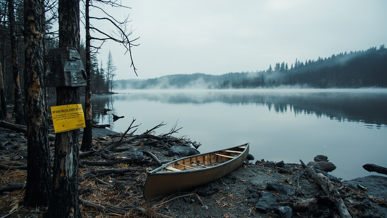
TL;DR: Superior National Forest's post-wildfire closure order 09-09-00-26-11 took effect October 1, 2026 and runs through April 1, 2027 or until the Forest Service rescinds it, barring entry, trail use and camping on mapped burn areas in the Boundary Waters Canoe Area Wilderness and along the Echo Trail north of Ely.
Anyone planning a late-fall, winter or early-spring Superior trip should read one document first. The Forest Service alert titled "Post Wildfire Closures, Effective October 1, 2026" lists an alert start of October 1, 2026, an end date of April 1, 2027 and a last update of October 1, 2026. It ties the closure to wildfires started by a lightning storm on July 7, 2026. Under the order, four Boundary Waters entry points are available, three are shut for the season with their parking lots, two named portages are closed and burned campsites stay closed.
Three prohibitions, one described area
On the lands listed in Exhibit A and drawn on Exhibit B, the order bans going into or being upon the described area (36 C.F.R. § 261.52(e)), being on described trails (§ 261.55(a)) and camping (§ 261.58(e)). The described ground is National Forest System land in Lake, St. Louis and Cook counties, spread across several ranger districts. The Forest Service gives the reason as public health and safety, citing long-term effects of the fires. Acting Forest Supervisor Drew Stroberg signed the order in Duluth on September 30, 2026, and it supersedes earlier orders covering the same acts on the same ground. Exhibit B comes in a full-landscape version and a west-zone focused version.
What reopened on October 1
The September 30, 2026 release "New Wildfire Impacted Area Forest Closure Order" reports day and overnight use returning at entries 11 Blandin Trail, 16 Moose/Portage River North, 20 Angleworm Lake and 21 Angleworm Trail. Travel north of Home–Gull Portage remains off limits on the Angleworm Trail entries. The Forest Service news release for the order adds that North Hegman and Angleworm portages reopened, that Ramshead, Nina Moose and Agnes lakes no longer hold any fire-affected sites, and that additional campsites opened around South Arm Knife Lake and Lake Agnes. Work by forest staff and volunteers made the reopened access possible, the agency said. Exhibits and maps are posted at fs.usda.gov/r09/superior/alerts.
What stays shut through spring 2027
Entries 14 Little Indian Sioux River North, 15 Sioux-Hustler Trail and 19 Stuart River are closed for the season, along with their parking lots, because fire struck them directly and they need maintenance and rehabilitation. Portages from Agnes to Oyster River and from Boulder River to Dahlgren River are also closed. Campsites hit by the fires remain shut as depicted on Exhibit B.
The hazard that outlasts containment
A separate alert, "Watch for Wildfire Hazards While Recreating," carries a July 30, 2026 start date and warns that fires can threaten the public and firefighters after containment, with dangers that are hard to identify. The September 30 release names two in reopened areas: trees weakened by fire, and stump holes burned into the ground. Quetico Superior Foundation reported on October 3, 2026 that containment had been reached on the July Lightning Incident fires, and that the new order replaced the earlier phased reopening orders while three entry points stayed closed through spring.
Echo Trail: open road, closed land
The Echo Trail stays open, but portions of National Forest System land north along the corridor remain closed to use. The Forest Service asked travelers on September 30 to be cautious and to plan for delays while fire operations continued along the corridor. Exhibit B is where the closed ground is drawn.
Reading the exhibits before you load the boat
Exhibit A describes the closed lands in words and Exhibit B shows them on maps; the map also displays closed portages and campsites. A trip report written before October, an app pin or a neighboring open entry point does not establish that a specific lake, trail or campsite sits outside the line.
A November start, step by step
A late-season trip starts with one of the four reopened entries, then a check of the specific portage and campsite status on Exhibit B. The agency warns that some sites and portages in reopened areas stay shut and asks visitors to allow extra time.
Other live rules for a cold-season launch
Several more items on the forest's alert page bear on a November-to-April trip. Forest Order 09-09-26-02, the BWCAW Bear Aware food storage order, applies from April 1 through November 30 each year. Fall prescribed fire and pile burning is planned pending the required approvals: roughly 2,132 acres on the eastern Gunflint and Tofte districts and about 373 acres on the western Kawishiwi, LaCroix and Laurentian districts, with operations estimated to continue through December as weather allows. The agency asks drivers to slow down and switch on headlights where smoke crosses a road, to watch for firefighters, and notes that burns may be canceled when conditions do not match objectives. Another alert covers temporary road shutdowns for construction plus intermittent delays while culverts are replaced and ditch work is finished. A standing order, 09-09-24-01, caps camping at developed sites at 14 days and bars camping on Jeanette Lake Island, Birch Lake's "TP Island" and Grassy Lake Island.
Penalties, exemptions and who answers the phone
A violation carries a Class B misdemeanor charge, with fines reaching $5,000 for an individual and $10,000 for an organization, imprisonment of up to six months, or both, citing 16 U.S.C. § 551 and 18 U.S.C. §§ 3559, 3571 and 3581. Exemptions cover holders of Forest Service Permit No. FS-7700-48 that specifically exempts them, people with a written determination by an authorized officer that no permit is required under 36 C.F.R. § 251.50(e)(1), and federal, state or local officers and organized rescue or firefighting resources performing official duty. The exemption list does not include ordinary recreation. District contacts are 218-626-4300 for the Supervisor's Office in Duluth, 218-387-1750 for Gunflint in Grand Marais, 218-365-7600 for Kawishiwi in Ely and 218-666-0020 for LaCroix in Cook, with Public Affairs Staff Officer Joy VanDrie listed as the order's contact.
Scale, alternatives and the April 1 checkpoint
The forest spans three million acres and contains the one-million-acre Boundary Waters, according to the Forest Service. When the wilderness closed on July 14, 2026, the agency's release on that emergency closure said about 1,900 wilderness campsites fell inside the shutdown and pointed visitors toward 23 developed campgrounds, 18 rustic campgrounds and 254 backcountry campsites outside the wilderness. The order can end before April 1, 2027 if the agency rescinds it, so a spring reservation needs a fresh read of Exhibits A and B and a call to the district office whose ground the route crosses.