TL;DR: Backpackers must reroute around Mono Meadow and Buena Vista because the Dome Fire closure expanded after Thursday winds pushed a spot fire near Bridalveil Creek.
What changed on October 2
The Dome Fire closure now also takes in the Mono Meadow and Buena Vista trails, according to the incident's InciWeb page as summarized by Outdoor Unc in "Dome Fire Closure Now Reaches Mono Meadow and Buena Vista Trails — Outdoor Unc."
That addition sits on top of closures already in place. Those earlier closures covered Glacier Point Road, the Chilnualna Falls trail and the trails beyond it toward Buena Vista and Crescent Lakes, and the Ostrander Trail and everything south of it, east of the Wawona Road to Chinquapin, according to the same Outdoor Unc report.
The park's closure order and map have the exact lines, according to Outdoor Unc. For wilderness readiness, that distinction matters. A trail name on a news summary is a warning. The legal boundary is the closure order and public information map referenced in the National Park Service updates.
The location context is consistent across federal updates. The "Yosemite National Park Dome Fire Friday Morning, October 2, Update" republished by Sierra Sun Times places the incident 1 Mile North of Wawona, CA, and describes it as approximately 1/4 mile north of Chilnualna Falls. It dates the original report to the morning of September 15, 2026. The listed date of origin is Tue, 09/15/2026 - 07:00, with the location given as North of Wawona Dome.
For trip planning, the practical effect is direct. Anyone planning a loop that uses the Mono Meadow or Buena Vista trails should rework it, according to Outdoor Unc. That advice is especially important for multi-day routes where one closed segment can force a long detour or an exit to a road.
Why the boundary moved
The reason was Thursday's weather, according to Outdoor Unc. With wind gusts to 20 mph and low humidity, fire activity picked up in the northeast near Bridalveil Creek, and the fire spotted out ahead of itself.
The federal Friday morning update describes the same sequence. It states that with wind gust to 20 mph and low relative humidity yesterday, fire activity increased in the northeast area near Bridalveil Creek, and the fire spotted out ahead of itself, according to the "Yosemite National Park Dome Fire Friday Morning, October 2, Update."
Spotting means embers start new ignition outside the main edge. In wilderness travel terms, it means conditions near the northeast perimeter were active enough to throw fire across intended lines. That is why managers widened the closed trail system rather than leaving Mono Meadow and Buena Vista open as alternate routes.
The same update lists the fire behavior as moderate, with flanking, uphill runs and single tree torching. It notes active fire spread in the area of DP 24 on Division M. Drier weather led to increased fire potential, with continued downslope progression expected to the west and potential for further active growth to the east where slope alignment occurs beyond Bridalveil Creek, according to that update.
Spotting continues to occur adjacent to the perimeter and is described as a primary contributor to fire spread along with terrain alignment in that report.
Size, containment and staffing on Friday morning
The Friday morning federal update lists size at 6,159 acres, percent contained at 40%, personnel at 798 and cause as undetermined, according to the "Yosemite National Park Dome Fire Friday Morning, October 2, Update."
That update also lists an estimated containment date of 10/17/2026. It identifies the Incident Commander as California Complex Incident Management Team 4, Incident Commander Kyle Jacobson.
Outdoor Unc reported a slightly different paper trail for the same day. It cited a federal incident report filed Thursday evening at 5,855 acres and 40 percent contained with 798 personnel, and an estimated cost so far at $29 million. Outdoor Unc noted that figure was about 80 acres more than the park's Thursday morning figure, while a perimeter posted to interagency data Thursday evening measured larger, about 6,160 acres.
The two numbers do not conflict as much as they look different. Incident reports, park morning updates and mapped perimeters are produced at different times and by different methods. For backcountry users, the operational point is stable: roughly six thousand acres, less than half contained, and nearly eight hundred people assigned.
A new incident management team took command at 7 a.m. on October 2, California Team 4, in the routine rotation announced Thursday, according to Outdoor Unc. The National Park Service said in its "Dome Fire Update, October 1, 2026 (morning)" that California Incident Management Team 4 was integrating with CAIMT 3 and would take command October 2 at 7:00 AM. The Friday update names California Complex Incident Management Team 4 under Incident Commander Kyle Jacobson.
What crews are doing now
Today crews are sizing up that spot fire and attacking it directly where they safely can, building direct line on the east side with aircraft available, and continuing contingency line along Glacier Point Road, according to Outdoor Unc.
The Friday morning update gives the same assignments in operational language. It states that crews will be evaluating the spot fire direct on the fire's edge where it is possible and will work to limit spread. On the east side, firefighters will work on direct line construction, with aircraft available to assist. Contingency line work continues along Glacier Point Road, according to that update.
On the south end the lines are being reinforced, and on the west side the fire is slowly backing down toward control lines, according to Outdoor Unc. The Friday update similarly states that crews continue to make good progress in the southern area, containment lines are being reinforced, and on the west side the fire continues to slowly back down the slope toward control lines.
Earlier work helped set those lines. The National Park Service said in its "Dome Fire Update, October 1, 2026 (morning)" that firing operations continued near Glacier Point Road and the Bridalveil Creek Trail, with crews carefully burning dry brush and fallen trees to build stronger control lines. That same update said chipping along Glacier Point Road turns brush into chips that are easier to handle and less likely to burn, and that the chipping should be done in about two days.
Technology and wilderness tactics are both in use. The October 1 update states that two UAS aircraft with infrared sensors, one for day and one for night, find hot spots. It also explains that firefighters use Minimal Impact Suppression Tactics in wilderness, where large ground-disturbing equipment remains prohibited, while chainsaws, small portable water pumps and similar equipment are often allowed during active fires.
Roads and trails: what stays open
Yosemite National Park is open and operating normally, with listed exceptions, according to the Friday morning update.
Glacier Point Road is closed due to reduced visibility from smoke and to safely allow firefighting operations, according to that update. The update states there are no imminent threats to infrastructure. The National Park Service said October 1 that no roads, buildings or utilities were under immediate threat.
The Four Mile Trail and Panorama Trail, providing access to Glacier Point, will remain open to hikers, according to the Friday update. Glacier Point Road will reopen when conditions allow. Backpackers already parked overnight at Glacier Point will be allowed to exit after the closure begins.
The Chilnualna Falls trail, as well as the trails from the top of Chilnualna Falls toward Buena Vista and Crescent Lakes, are closed due to the Dome Fire, according to that update. Those lakes are noted as reachable from the east. The Ostrander Trail and all areas and trails south of it are closed, with the closed area extending east of the Wawona Road from Wawona to Chinquapin.
With Mono Meadow and Buena Vista now added to the closure picture, hikers lose two commonly used connectors in the southern backcountry. Do not try to piece together a Chilnualna-to-Buena Vista-to-Crescent or Mono Meadow bypass. Use eastern access for Buena Vista and Crescent Lakes if those lakes are the objective, and check the current closure map before leaving pavement.
Weather, smoke and wilderness supply lines
A weak weather system passing to the north will bring increasing high clouds on Friday, with little impact other than lowering temperatures 1-2 degrees, according to the Friday morning update. Sunny skies return Saturday with continued well above normal temperatures, light winds and low relative humidity.
Outdoor Unc summarizes the same weekend outlook as high clouds Friday and temperatures a degree or two lower, then sunny Saturday with well above normal temperatures, light winds and low humidity.
Smoke remains a readiness issue. The National Park Service said in its October 1 morning update that air quality in Yosemite Valley and El Portal was in the UNHEALTHY FOR SENSITIVE GROUPS range that morning but should improve that afternoon. It forecast mostly MODERATE air quality with morning and possible evening smoke for Wawona, Yosemite Valley and El Portal, and mostly GOOD air quality with periods of MODERATE air quality for Hodgdon Meadow, Tuolumne Meadows and Mariposa. Skies were expected to be hazy.
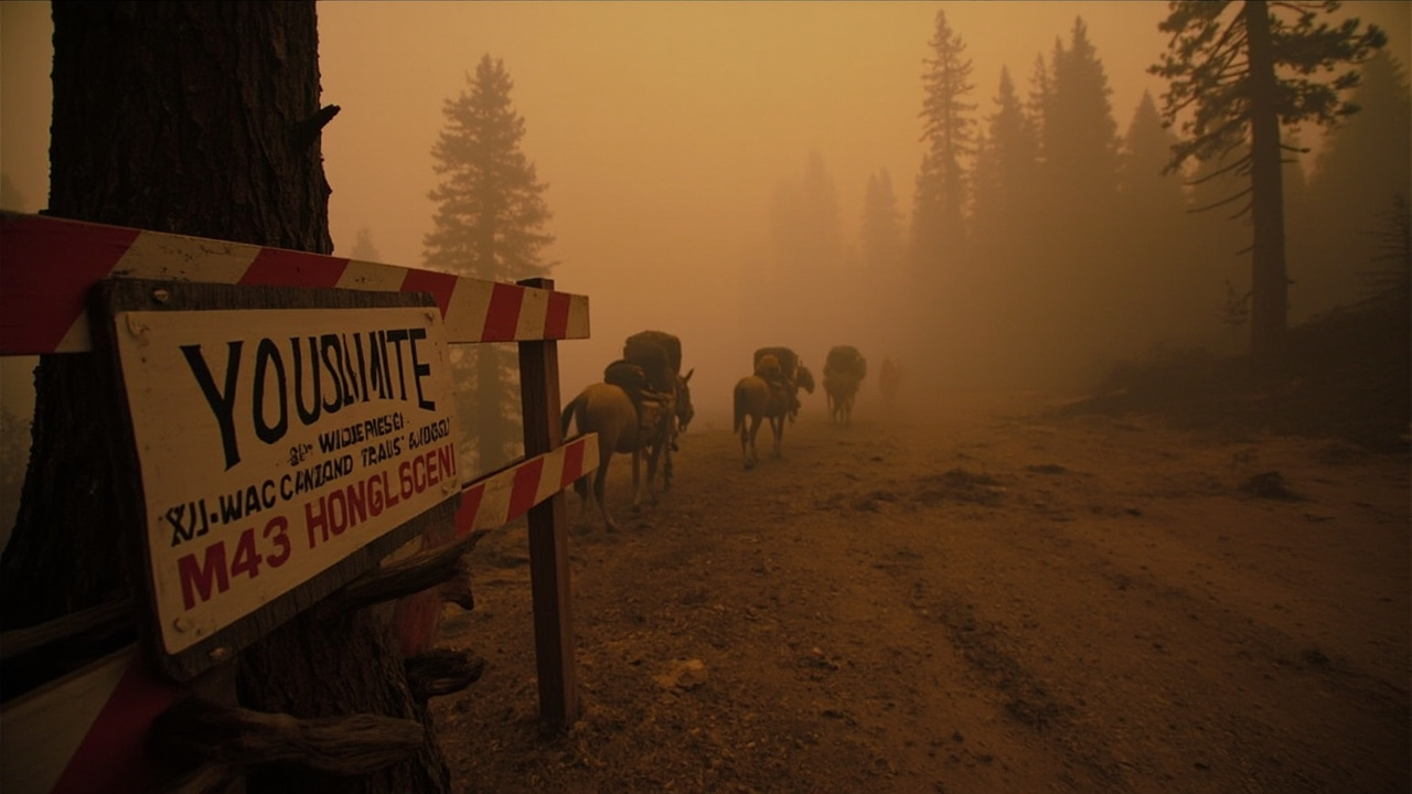
Supply in roadless terrain depends on pack stock as well as aircraft. The National Park Service said several pack mules from the Shasta-Trinity National Forest and Stanislaus National Forest were supporting Dome Fire firefighters. Using mules allows helicopters to do other work such as bucket drops, and mules can operate in smoky conditions where helicopters lack visibility for remote delivery, according to that October 1 update.
The Union Democrat report "Pack mules haul supplies to Dome Fire crews" identifies lead animal packer John Sprik, Shasta-Trinity lead animal packer Katy Bartzokis and packer apprentice Matt Alloway, along with five mules named Annie, Banjo, Arlo, Gilligan and Waffles. It states the teams haul water, fuel, food and other supplies over steep, rugged trails inaccessible to vehicles.
Unauthorized drones can force firefighting aircraft to stop flying, delay suppression and allow fires to grow, according to the Friday update. The standard warning applies: if you fly, firefighters cannot fly.