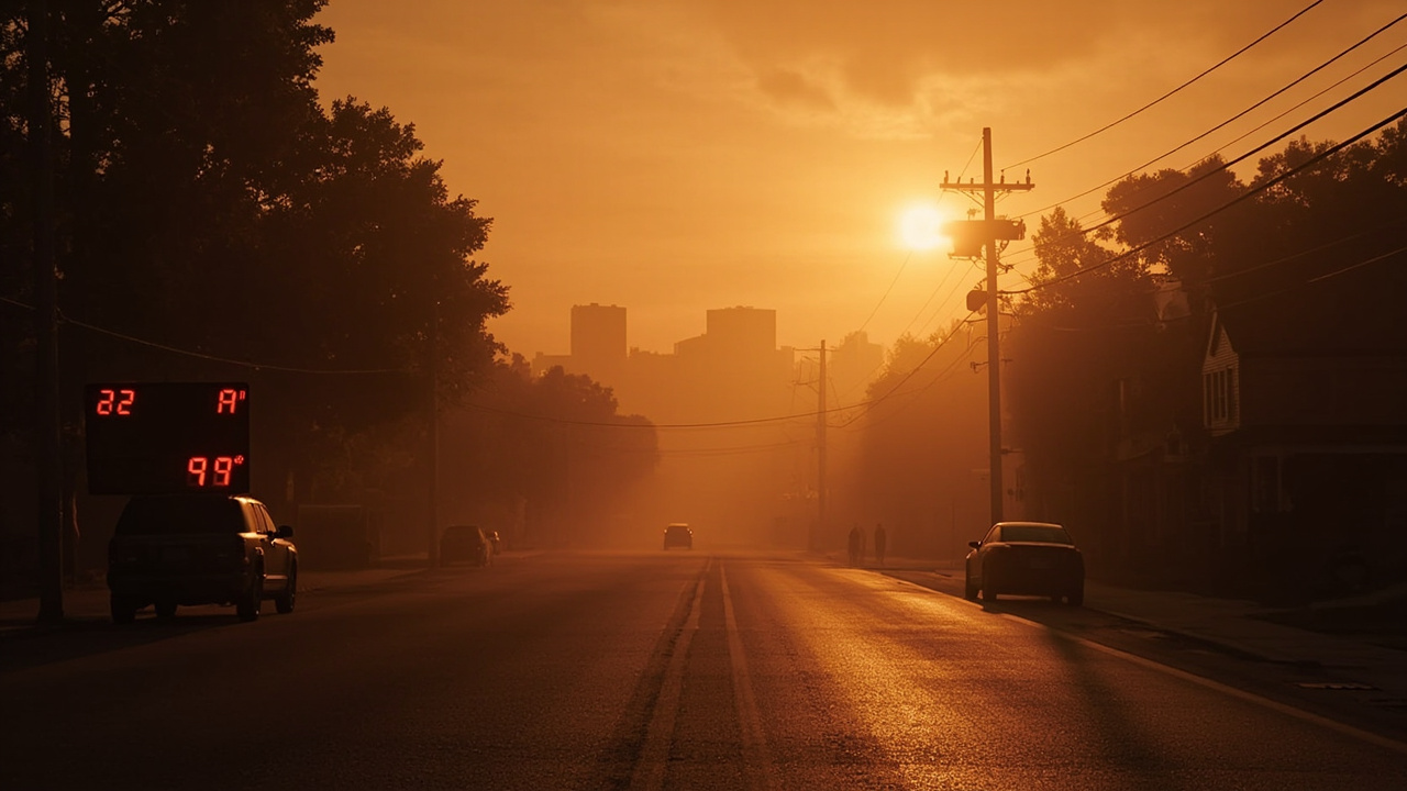
TL;DR: Two National Weather Service heat advisories covering parts of Indiana remained in effect on Saturday, September 19, 2026, until Sunday evening, with heat index values up to 105.
What the September 19 alerts said
The page titled WWA Summary for Heat Advisory Issued by IND displayed two urgent weather messages on Saturday, September 19, 2026, according to WWA Summary for Heat Advisory Issued by IND.
One message was issued by the National Weather Service in Louisville, Kentucky, at 3:31 p.m. EDT on Saturday, September 19, 2026, which was 2:31 p.m. CDT on the same day.
That Louisville message stated that a heat advisory was now in effect until 8 p.m. EDT Sunday, which was 7 p.m. CDT Sunday.
The other message displayed on the same summary page was issued by the National Weather Service in Paducah, Kentucky, at 10:19 a.m. CDT on Saturday, September 19, 2026, which was 11:19 a.m. EDT on the same day.
That Paducah message stated that a heat advisory remained in effect until 7 p.m. CDT Sunday, which was 8 p.m. EDT Sunday, according to WWA Summary for Heat Advisory Issued by IND.
Both messages used the headline Heat Advisory and the label Urgent - Weather Message.
Both messages listed heat index values as the WHAT element of the advisory.
Both messages listed geographic coverage as the WHERE element of the advisory.
Both messages listed timing through Sunday evening as the WHEN element of the advisory.
Both messages listed hot temperatures and high humidity that may cause heat illnesses as the IMPACTS element.
Both messages included precautionary and preparedness actions for fluids, air conditioning, sun exposure, and checking on relatives and neighbors.
Louisville coverage area and cities named
The Louisville message applied to portions of Indiana and north central, northwest, and south central Kentucky.
The Louisville message listed zone codes INZ083-089-KYZ023>028-053-061>063-070>076-201015 and identifier O.EXT.KLMK.HT.Y.0013.000000T0000Z-260921T0000Z.
The Louisville message named Dubois and Perry in Indiana alongside Hancock, Breckinridge, Meade, Ohio, Grayson, Hardin, Larue, Butler, Edmonson, Hart, Logan, Warren, Simpson, Allen, Barren, Monroe, and Metcalfe.
The Louisville city list included Elizabethtown and Edmonton, according to WWA Summary for Heat Advisory Issued by IND.
The same city list included Brandenburg and Hawesville.
The same city list included Providence and Hardinsburg.
The same city list included Jasper and Tompkinsville.
The same city list included Franklin and Leitchfield.
The same city list included Scottsville and Morgantown.
The same city list included Horse Cave and Lewisport.
The same city list included Hodgenville and Glasgow.
The same city list included Hartford and Russellville.
The same city list included Tell City and Brownsville.
The same city list also included Bowling Green.
Jasper and Tell City are the Indiana cities explicitly included in that Louisville city list.
The Louisville WHAT element reported heat index values up to 105.
The Louisville WHEN element specified until 8 p.m. EDT and 7 p.m. CDT Sunday.
The Louisville IMPACTS element stated that hot temperatures and high humidity may cause heat illnesses.
Paducah coverage area and cities named
The Paducah message applied to all of southern Illinois, southwest Indiana, western Kentucky, and southeast Missouri, according to WWA Summary for Heat Advisory Issued by IND.
The Paducah message listed zone codes ILZ075>078-080>094-INZ081-082-085>088-KYZ001>022-MOZ076-086-087-100-107>112-114-200915 and identifier O.CON.KPAH.HT.Y.0013.000000T0000Z-260921T0000Z.
The Paducah county list included Jefferson, Wayne in Illinois, Edwards, Wabash, Perry in Illinois, Franklin, Hamilton, White, Jackson, Williamson, Saline, Gallatin, Union, Johnson, Pope, Hardin, Alexander, Pulaski, and Massac.
The same county list included Gibson, Pike, Posey, Vanderburgh, Warrick, and Spencer in southwest Indiana.
The same county list included Fulton, Hickman, Carlisle, Ballard, McCracken, Graves, Livingston, Marshall, Calloway, Crittenden, Lyon, Trigg, Caldwell, Union in Kentucky, Webster, Hopkins, Christian, Henderson, Daviess, McLean, Muhlenberg, and Todd.
The same county list included Perry in Missouri, Bollinger, Cape Girardeau, Wayne in Missouri, Carter, Ripley, Butler, Stoddard, Scott, Mississippi, and New Madrid.
The Paducah city list included Sikeston, Charleston, Dixon, Petersburg, Cairo, Carbondale, Evansville, Paducah, Hickman, Jackson, Piedmont, Calhoun, Fairfield, Poplar Bluff, West Frankfort, Vienna, Bardwell, Cape Girardeau, Madisonville, Benton, Shawneetown, Van Buren, Bloomfield, Metropolis, Princeton, Smithland, Murray, Rockport, Morganfield, Clinton, Herrin, Pinckneyville, Elkton, Mayfield, Perryville, Harrisburg, Eddyville, Mount Vernon, Elizabethtown, Murphysboro, Cadiz, Golconda, New Madrid, Boonville, Mount Carmel, Henderson, Marion, Marble Hill, Hopkinsville, Jonesboro, Mound City, McLeansboro, Carmi, Poseyville, Wickliffe, Owensboro, Doniphan, Fort Branch, Albion, and Greenville.
Evansville, Mount Carmel, Poseyville, Fort Branch, Boonville, Rockport, and Princeton are among the southwest Indiana communities named in that Paducah city list.
The Paducah WHAT element reported peak heat index values up to around 100 degrees this weekend.
The Paducah WHEN element specified until 7 p.m. CDT and 8 p.m. EDT Sunday.
The Paducah IMPACTS element stated that hot temperatures and high humidity may cause heat illnesses.
Why forecasters extended the advisory
The Paducah message included an additional details section explaining the weekend extension, according to WWA Summary for Heat Advisory Issued by IND.
That section stated that the heat advisory was extended through the weekend due to prolonged high heat conditions that had basically been ongoing for the entirety of the past week.
That section stated that the prolonged conditions continue to heighten the risk of heat-related health impacts.
The Louisville message used the wording now in effect, while the Paducah message used the wording remains in effect.
Both wordings pointed to continuous coverage through Sunday evening rather than a single afternoon.
The Paducah issuance time of 10:19 a.m. CDT Saturday preceded the Louisville issuance time of 3:31 p.m. EDT Saturday.
Both messages shared the same Sunday end point of 7 p.m. CDT and 8 p.m. EDT.
Sixth straight day above 95 in Evansville
Evansville, Indiana, was experiencing a historic heat wave that continued through Sunday evening, according to Record-Breaking Heat Wave Continues Through Sunday.
That report, published September 19, 2026, stated that Saturday marked the sixth consecutive day with temperatures above 95 degrees.
That report stated that Saturday's high reached 97 degrees.
That report stated that the 97-degree high matched records set in 1954 and 1925.
That report described the conditions as dangerous and expected to last through Sunday evening.
That report stated that a heat advisory remained in effect until 7 p.m. Sunday.
That report described the advisory as the final heat advisory of the year.
That report placed the streak in historical perspective by stating that September 1931 recorded nine consecutive days at 90 degrees or greater.
That report stated that Sunday would round out the heat wave with mostly sunny, hot, and humid conditions.
That report forecast Sunday high temperatures of 98 degrees with a heat index climbing to 100 to 105 degrees.
That report stated that the heat index range can be dangerous for prolonged outdoor activity.
That report stated that the record high for Sunday is 96 degrees, set in 2022.
Wilderness and outdoor work guidance in the alerts
The Louisville message advised people to drink plenty of fluids, according to WWA Summary for Heat Advisory Issued by IND.
The Louisville message advised people to stay in an air-conditioned room.
The Louisville message advised people to stay out of the sun.
The Louisville message advised people to check up on relatives and neighbors.
The Louisville message stated that the Occupational Safety and Health Administration recommends scheduling frequent rest breaks in shaded or air conditioned environments to reduce risk during outdoor work.
The Louisville message stated that anyone overcome by heat should be moved to a cool and shaded location.
The Louisville message stated that heat stroke is an emergency and directed people to call 9 1 1.
The Paducah message separately advised people to drink plenty of fluids.
The Paducah message separately advised people to stay in an air-conditioned room.
The Paducah message separately advised people to stay out of the sun.
The Paducah message separately advised people to check up on relatives and neighbors.
The Paducah message advised extra precautions when outside.
The Paducah message advised wearing lightweight and loose fitting clothing.
The Paducah message advised trying to limit strenuous activities to early morning or evening.
The Paducah message advised taking action when symptoms of heat exhaustion and heat stroke are seen.
How to time exertion and clothing
The early-morning and evening window is the lower-exposure option identified for strenuous activities in the Paducah message.
Lightweight and loose fitting clothing is the clothing option identified for extra precautions when outside in the Paducah message.
Shaded or air conditioned environments are the rest-break locations recommended for outdoor work in the Louisville message.
Frequent rest breaks are the work practice recommended for outdoor work in the Louisville message.
A cool and shaded location is the destination identified for anyone overcome by heat in the Louisville message.
An air-conditioned room is the indoor location identified in both the Louisville and Paducah messages.
Staying out of the sun is the exposure-reduction action identified in both messages.
Drinking plenty of fluids is the hydration action identified in both messages.
Checking on relatives and neighbors is the community check identified in both messages.
Calling 9 1 1 for heat stroke is the emergency action identified in the Louisville message.
Storms overlapped the heat in central Indiana
Central Indiana faced scattered storms during the same weekend, with temperatures into the 80s, according to Scattered storms this weekend, fall arrives next week | September 19, 2026.
That report, posted September 19, 2026, by Tara Hastings, stated that skies started partly cloudy with humid conditions for much of the afternoon.
That report forecast Saturday highs climbing into the middle and upper 80s.
That report forecast showers and storms developing across central and southern Indiana by late afternoon hours.
That report stated that some storms could produce gusty winds.
That report placed central Indiana under a level 1 out of level 5 severe weather risk for Saturday.
That report forecast scattered overnight storms ending by daybreak, with temperatures falling to around 70.
That report forecast a mix of sun and clouds for Sunday with slightly humid conditions.
That report forecast Sunday afternoon showers and storms with highs in the middle to upper 80s.
That report placed much of central Indiana under a level 1 out of level 5 severe weather risk for Sunday.
That report identified gusty winds and heavy rainfall as the main threats for Sunday.
Cooldown and fall arrival timeline
A major cooldown was expected early in the week, according to Record-Breaking Heat Wave Continues Through Sunday.
That report stated that autumn officially begins Tuesday, September 22nd.
That report forecast high temperatures cascading into the upper 70s after the weekend heat.
That report described the change as a dramatic 20-degree shift from the weekend's dangerous heat.
That report forecast Monday with mostly sunny skies and only a 20 percent chance of afternoon showers.
That report forecast Monday highs in the upper 80s to 90 degrees.
The Indianapolis-area outlook similarly forecast showers remaining consistent for the first part of Monday, according to Scattered storms this weekend, fall arrives next week | September 19, 2026.
That Indianapolis-area outlook forecast temperatures in the low 70s to start the work week.
That Indianapolis-area outlook stated that rain comes to an end late Monday.
That Indianapolis-area outlook stated that fall officially arrives Tuesday.
That Indianapolis-area outlook forecast highs staying in the 70s for the rest of the week.