The Short Answer
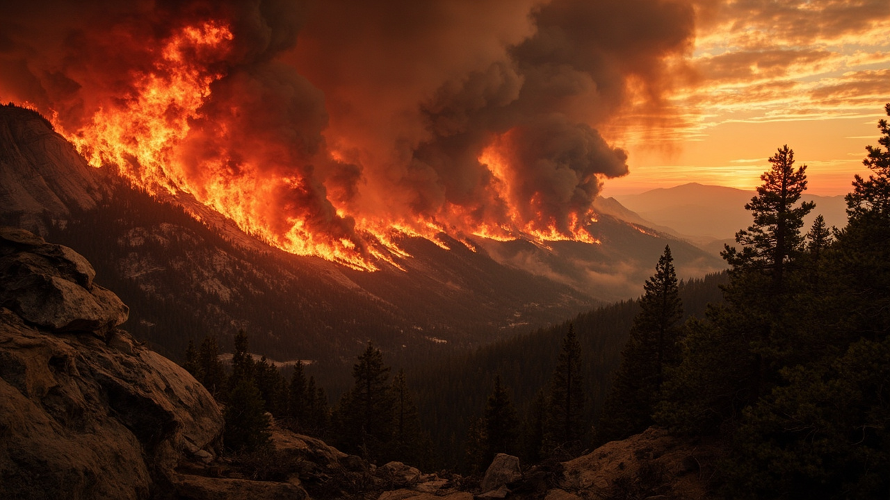
The Wild River Fire — a human-caused blaze inside New Hampshire's White Mountain National Forest — had reached 856 acres and stood at only 11% containment in early November 2026, making it what local fire officials call the largest wildfire the region has seen in at least two decades, according to reporting by Backpacker.com and The Trek.
How the Fire Grew So Fast
The blaze ignited on November 3, 2026, near Gorham, New Hampshire, in the steep backcountry of the White Mountain National Forest. Within roughly 48 hours, the fire escalated from an initial estimate of about 300 acres to 856 acres, driven by dry conditions, an accumulation of fallen leaves and dead wood, and rugged terrain that hampered suppression access.
Fire Chief Philip Cloutier told NH Public Radio that a wildfire of this magnitude is extraordinary for the area. The largest previous incident on record for the region came in at under 100 acres, approximately 20 years ago. "That's very uncommon in our area," Cloutier told NHPR. Investigators identified human activity as the likely cause, though the investigation remained ongoing.
A moderate drought across the region compounded the problem. Combustible leaf litter carpeted the forest floor, and the Wild River drainage's rocky, remote character made it difficult for ground crews to reach active flame fronts directly.
Firefighting Resources Deployed
Approximately 90 federal firefighters were actively working the Wild River Fire, supported by three helicopters and drone operations, according to Backpacker.com. Among the specialized resources deployed was the Cherokee Hotshot Crew, an elite interagency hand crew capable of constructing direct fire lines in terrain inaccessible to heavy equipment.
Aerial assets focused on water drops over the steepest and most remote sections of the fire perimeter, while ground crews executed direct attack where topography permitted. When flame activity and smoke made direct engagement unsafe, crews shifted to mop-up tactics — targeting smoldering root masses and buried embers in decomposed organic material to prevent re-ignition.
District Ranger Josh Sjostrom acknowledged the difficulty of operations on November 5, 2026. "I am proud of the firefighters who responded quickly and continue to work tirelessly to contain the Wild River Fire," Sjostrom stated, as reported by Backpacker.com.
Fire officials were watching incoming weather forecasts for rain that could assist suppression, while also preparing contingency plans in case dry and windy conditions returned.
Impact on the Appalachian Trail and Adjacent Routes
Despite the fire burning within roughly ten miles of the Appalachian Trail corridor, the AT itself remained open, according to the Appalachian Trail Conservancy. Hikers were advised to anticipate visible smoke and to follow all posted signage and directions from fire personnel on scene.
Several connecting trails were closed to support firefighting operations and protect public safety. According to the Appalachian Trail Conservancy, the closed segments included the High Water Trail from Route 113 to its junction with Shelburne Trail, a closure spanning approximately 5.3 miles; the Kenduskeag Trail along the segment that meets the AT at mile marker 1,894.8; and Corridor 19 from Wild River Road to the Rattle River Trail junction, a closure of approximately 10 miles.
The Forest Service directed hikers to avoid building any campfires in the affected zone until conditions improved, citing the ongoing dry weather and drought. Hikers planning trips into the region were urged to check official White Mountain National Forest and Appalachian Trail Conservancy updates before departure.
What This Fire Means for Late-Season Hikers
The Wild River Fire underscores a risk that many hikers underestimate: late-autumn in the northeastern United States can produce wildfire conditions nearly as dangerous as summer, particularly in drought years. Fallen leaf litter acts as fine fuel that ignites and spreads flame rapidly before snow cover arrives.
The Trek reported that the fire's growth to nearly 900 acres was described by authorities as a scenario that exposes how the region's terrain — a combination of steep drainages, boulder fields, and dense second-growth forest — can complicate even a well-resourced response. Firefighters had to navigate the Wild River itself at several points to access burning slopes, slowing suppression progress.
For AT through-hikers and section hikers in the northern New England corridor, the closure of the Kenduskeag Trail at mile 1,894.8 required re-routing. The AT Conservancy's trail update page served as the primary source for real-time rerouting guidance.
Community Engagement
On the evening of November 5, 2026, fire managers held a public meeting at Shelburne Town Hall, giving residents and interested hikers a direct channel to ask questions and receive briefings on suppression strategy, smoke impacts, and safety protocols. Officials used the session to reinforce messaging about campfire bans and to explain how the incident command structure was coordinating federal, state, and local resources.
The White Mountain National Forest and the Appalachian Trail Conservancy were maintaining updated public advisories through their respective websites and social media channels, providing the most current acreage, containment percentage, and trail closure information.
Survival Takeaway for Wilderness Travelers
Any hiker planning a trip into fire-adjacent wilderness should treat smoke visibility as a situational trigger — not just an inconvenience. When smoke fills a canyon or drainage, wind shifts can bring flame fronts into an area within minutes. The Wild River Fire's terrain mirrors conditions found on many AT sections: narrow drainages with limited escape routes. Reviewing posted closures, carrying a current paper map of alternate routes, and knowing the location of the nearest trailhead exit before entering are baseline preparedness steps that the AT Conservancy and fire officials both emphasized during this incident.
Sources referenced
- Appalachian Trail Threatened by 'Uncommonly' Large Wildfire in White Mountains (https://www.backpacker.com/news-and-events/news/appalachian-trail-threatened-by-uncommonly-large-wildfire-in-white-mountains/)
- 900-Acre Wildfire in White Mountains Likely Caused by Humans, Authorities Say (https://thetrek.co/appalachian-trail/900-acre-wildfire-in-white-mountains-likely-caused-by-humans-authorities-say/)