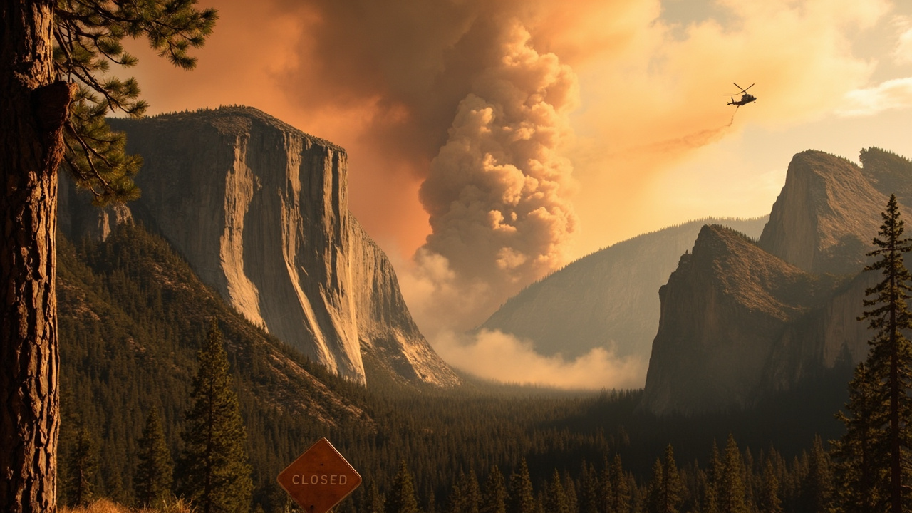
TL;DR: The Dome Fire near Chilnualna Falls in Yosemite grew from 100 acres on September 15 to 1,177 acres with zero containment on September 16, closing the Chilnualna Falls Trail while the rest of the park stayed open.
What the newest reports confirm
Yosemite Fire and the National Park Service are managing the Dome Fire burning above Wawona in Yosemite National Park, according to FOX26 reporter Michael Tellez in Dome Fire in Yosemite National Park grows to 1,177 acres, zero containment.
The report, updated September 16, 2026 at 3:13 p.m., listed the fire at 1,177 acres with no containment.
The same report stated that flames continued moving upslope with the wind above Wawona.
The same report stated that steep terrain and limited access were making direct firefighting efforts difficult.
The same report stated that ground crews were responding and additional ground and air resources had been requested.
The same report stated that the park remained open, but trails in the fire area, including the Chilnualna Falls Trail near Wawona Dome, were closed.
The same report stated that officials saw no immediate threat to Wawona.
A separate Spanish-language report published September 16 and updated at 2:26 p.m. also listed 1,177 acres and 0% containment in Mariposa County, according to Telemundo Fresno.
That Telemundo Fresno report placed the fire one-quarter mile north of Chilnualna Falls and visible from Highway 41.
That Telemundo Fresno report also stated no immediate threats to infrastructure or developed areas had been reported.
That Telemundo Fresno report stated firefighters were combating the fire from the ground and with aircraft.
That Telemundo Fresno report stated firefighters had used natural barriers and secured line on the south and west sides.
Where the fire started and how fast it grew
The U.S. National Park Service said the Dome Fire was reported on the morning of September 15, 2026, in Dome Fire Update, September 15, 2026.
The National Park Service update listed the fire at 100 acres.
The National Park Service placed the fire approximately one-quarter mile north of Chilnualna Falls.
The National Park Service said the fire was visible from Wawona Road, also known as Highway 41.
The National Park Service named the fire response as suppression with ground and aerial resources.
The National Park Service described a moderate rate of spread to the north and northeast.
Local outlet myMotherLode.com reported ignition around 7 a.m. north of Wawona in Mariposa County in Update: Yosemite Fire Reaches 100 Acres.
That myMotherLode.com update, published September 15 at 5:18 p.m. and updated at 5:45 p.m., listed the fire at 100 acres that evening.
The outlet identified the fire as a vegetation fire named the Dome Fire.
The outlet reported that CAL FIRE expected crews to work overnight to build fire lines and gain containment.
The New York Post, citing CalFire, reported the outbreak north of Wawona Dome near the Chilnualna Falls Trailhead around 8:30 a.m. and 40 acres by 3:15 p.m.
The Hindustan Times, also citing CalFire figures, repeated the 8:30 a.m. start reference and the 40-acre figure by 3:15 p.m.
CAL FIRE described the burn environment as wilderness with grass, brush and timber fuels, according to those September 15-16 reports.
CAL FIRE described the fire as running upslope, aligned with terrain and wind, with limited and difficult access, according to those reports.
Which trails closed and which routes stayed possible
The National Park Service closed the Chilnualna Falls Trail for safety, according to its September 15 update.
The National Park Service also closed trails from the top of Chilnualna Falls toward Buena Vista and Crescent Lakes.
The National Park Service said Buena Vista and Crescent Lakes were reachable from the east despite the western closures.
The National Park Service directed visitors to the Yosemite Public Information Map for trail closure information at https://arcg.is/z5HLC4.
The myMotherLode.com evening update repeated that the park was open and operating normally except for the Chilnualna Falls Trail.
That update repeated the closure of trails from the top of Chilnualna Falls toward Buena Vista and Crescent Lakes.
That update repeated that those lakes were reachable from the east.
GV Wire reported September 15 that Yosemite National Park remained open and operating normally Tuesday, with some trail closures near the fire, in Dome Fire Burns 100 Acres Near Chilnualna Falls in Yosemite.
GV Wire listed the Chilnualna Falls Trail as closed.
GV Wire listed trails leading from the top of Chilnualna Falls toward Buena Vista and Crescent lakes as closed.
Outdoor Unc, in a September 16 trail report, described the practical effect as a rerouting problem rather than a cancelled trip because eastern access to the lakes remained.
How crews worked the south and west flanks first
The National Park Service said firefighters had been using natural barriers to aid containment.
The National Park Service said line had been secured on the south and west sides of the fire.
The myMotherLode.com account said flames were burning in standing timber, timber litter and woody shrubs, citing incident command.
The myMotherLode.com account said flames were moving at a moderate rate of spread to the north and northeast.
The myMotherLode.com account quoted incident command that a fire line had been secured on the south and west sides.
The GV Wire account said crews were attacking the fire from the ground and with aircraft.
The GV Wire account said firefighters were using natural barriers.
The GV Wire account said fire lines had been secured along the south and west sides.
FOX26 reported September 16 that steep terrain and limited access complicated direct attack above Wawona.
FOX26 reported that additional ground and air resources had been requested to support the response.
The fire was moving away from the community of Wawona, according to CAL FIRE as reported by myMotherLode.com.
What park visitors faced on September 16
Yosemite National Park was open and operating normally apart from the specified trail closures, according to the National Park Service.
Visitors near Wawona Road could see the fire from Highway 41, according to the National Park Service.
No immediate threats to infrastructure or developed areas were reported September 15, according to the National Park Service.
No immediate threats to structures or developed areas were reported, according to the September 15-16 CalFire-linked reports.
No evacuation warnings were issued in the early reporting, according to Outdoor Unc’s September 16 summary.
No immediate threat to Wawona was reported September 16, according to FOX26.
The National Park Service pointed visitors to https://inciweb.wildfire.gov/caynp-dome for fire information updates.
The National Park Service pointed visitors to fire.airnow.gov for air quality information.
The Sierra Sun Times notice repeated both links and identified the National Park Service as the source.
Travelers planning to enter the affected area were advised to check current park information and closures before traveling, according to later CAL FIRE incident text describing the same closure period.
Readiness lessons from a 100-acre to 1,177-acre jump
The documented growth from 40 acres in the afternoon to 100 acres in the evening to 1,177 acres the next day shows how quickly a wilderness start can expand.
The moderate north and northeast spread direction mattered because it moved away from Wawona while still closing a popular trail corridor.
The secured south and west line mattered because the initial attack focused on the sides closest to people and access routes.
The standing timber, timber litter, woody shrubs, grass, brush and timber fuels listed in the reports indicate a mixed fuel bed that supports both surface and upslope runs.
The upslope alignment with terrain and wind reported by CAL FIRE explains why direct access was limited and difficult.
The use of natural barriers reported by the National Park Service shows why maps of ridges, rock and prior burn areas matter to backcountry route choice.
The availability of eastern access to Buena Vista and Crescent Lakes shows why knowing alternate trailheads matters when a primary trail closes.
The open-park status with a localized closure shows why a trip plan should separate a park-wide closure from a trail-specific closure.
The published visibility from Highway 41 shows why roadside smoke does not by itself indicate road closure.
The overnight line-building plan reported September 15 shows why evening containment figures can change by morning.
What to check before entering Wawona country
Check the Yosemite Public Information Map at https://arcg.is/z5HLC4 for the mapped trail closure area.
Check InciWeb at https://inciweb.wildfire.gov/caynp-dome for fire updates posted by the incident managers.
Check AirNow at fire.airnow.gov for current air quality before exertion at elevation.
Treat the Chilnualna Falls Trail and the routes from the top of the falls toward Buena Vista and Crescent Lakes as temporarily closed during the incident period.
Use eastern approaches for Buena Vista and Crescent Lakes if traveling while the western trails are closed.
Expect ground and aircraft activity near Wawona Dome and the Chilnualna Falls drainage.
Expect smoke to be visible from Wawona Road.
Investigators listed the cause as under investigation in CAL FIRE incident data, so do not assume a known ignition source.
The National Park Service listed 209/372-0200 as its phone contact on the Dome Fire update page.